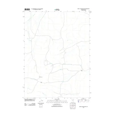
2012 Map of Wine Cup Ranch SW
USGS Topo · Published 2012About this map
Black Mountain anchors the high ground of this northeastern Nevada landscape, where the hydrology of Elko County is defined by a network of seasonal drainages and scattered watering holes. In a region where water determines the movement of livestock and wildlife, the map records several vital sources including Prather Springs, Brush Creek Springs, and Thurston Spring. These localized points, along with Willow Creek Spring and Sheep Spring, reflect the traditional reliance on small-scale groundwater sources in the high desert. The terrain is marked by significant topographical shifts, most notably at Tripon Pass and through the drainage of Hunter Draw. A web of unpaved roads and tracks connects these remote features, illustrating the contemporary infrastructure of the ranching territory surrounding Medicine Creek and Deadman Creek.
Find a feature on this map
14 named features on this map. Tap any name to fly to it.
Don’t see what you’re looking for? This feature index may not catch every label — zoom into the map to look around manually.
Map Details
Editions of this 2012 Wine Cup Ranch SW Map
This is the sole edition of this map. No revisions or reprints were ever made.
Other maps of this area

1955 · Wells
USGS Topo · 1:250,000

1958 · Wells
USGS Topo · 1:250,000

1961 · Wells
USGS Topo · 1:250,000

1968 · Wilkins
USGS Topo · 1:24,000

1968 · Holborn
USGS Topo · 1:24,000

1968 · Melandco
USGS Topo · 1:24,000

1968 · Pequop
USGS Topo · 1:24,000

1968 · Wells Peak
USGS Topo · 1:24,000

1968 · Wine Cup Ranch SE
USGS Topo · 1:24,000

1968 · Wine Cup Ranch
USGS Topo · 1:24,000