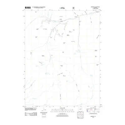
2011 Map of Winfield
USGS Topo · Published 2011About this map
Tasmania Mine and the Last Dollar Mine stand as prominent markers of the high-altitude industrial heritage found along the Clear Creek corridor. This 2011 survey documents the complex mining geography of the Sawatch Range, where settlements like Winfield, Vicksburg, and Rockdale grew along the canyon floors to support deep-mountain extraction. The landscape is defined by the steep drainages of Lulu Gulch and Missouri Gulch, which feed into the primary waterways of North Fork Clear Creek and Lake Fork.
Find a feature on this map
49 named features on this map. Tap any name to fly to it.
Don’t see what you’re looking for? This feature index may not catch every label — zoom into the map to look around manually.
Map Details
Editions of this 2011 Winfield Map
This is the sole edition of this map. No revisions or reprints were ever made.
Other maps of this area

1889 · Leadville
USGS Topo · 1:125,000

1891 · Leadville
USGS Topo · 1:125,000

1909 · Mount Jackson
USGS Topo · 1:125,000

1911 · Mount Jackson
USGS Topo · 1:125,000

1934 · Taylor Park
USGS Topo · 1:62,500

1935 · Mount Elbert
USGS Topo · 1:62,500

1937 · Taylor Park
USGS Topo · 1:62,500

1938 · Mount Elbert
USGS Topo · 1:62,500

1939 · Mount Elbert
USGS Topo · 1:62,500

1942 · Leadville
USGS Topo · 1:125,000