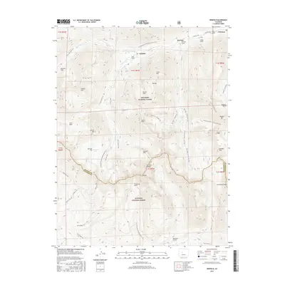
2016 Map of Winfield
USGS Topo · Published 2016About this map
The high alpine country of the Sawatch Range is meticulously documented here, centered on the confluence of N Fork Clear Cr and S Fork Clear Cr. This region, historically defined by its mining heritage, shows the established settlements of Winfield and Vicksburg nestled in the valleys. The landscape is dominated by 14,000-foot summits and dramatic glacial features, including the sharp spires of The Three Apostles and the massive bulk of Huron Peak.
Find a feature on this map
64 named features on this map. Tap any name to fly to it.
Don’t see what you’re looking for? This feature index may not catch every label — zoom into the map to look around manually.
Map Details
Editions of this 2016 Winfield Map
This is the sole edition of this map. No revisions or reprints were ever made.
Other maps of this area

1889 · Leadville
USGS Topo · 1:125,000

1891 · Leadville
USGS Topo · 1:125,000

1909 · Mount Jackson
USGS Topo · 1:125,000

1911 · Mount Jackson
USGS Topo · 1:125,000

1934 · Taylor Park
USGS Topo · 1:62,500

1935 · Mount Elbert
USGS Topo · 1:62,500

1937 · Taylor Park
USGS Topo · 1:62,500

1938 · Mount Elbert
USGS Topo · 1:62,500

1939 · Mount Elbert
USGS Topo · 1:62,500

1942 · Leadville
USGS Topo · 1:125,000