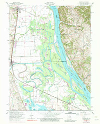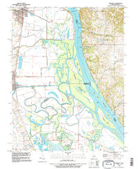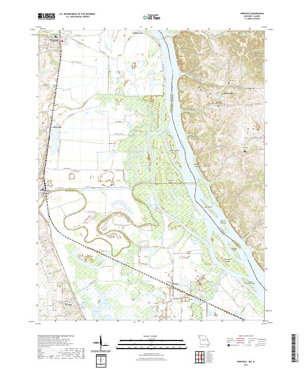
2021 Map of Winfield
USGS Topo · Published 2021About this map
The Mississippi River creates a dynamic border between Missouri and Illinois on this 2021 survey, defining a landscape of sprawling wetlands and riverine islands. On the western bank, the settlements of Winfield and Old Monroe anchor a region shaped by complex water systems, including the Cuivre River, Cuivre Canal, and numerous sloughs like Argent Slough. This modern topography highlights the persistent geographic importance of river crossings, evidenced by the Winfield Ferry near Cap au Gris.
Find a feature on this map
91 named features on this map. Tap any name to fly to it.
Don’t see what you’re looking for? This feature index may not catch every label — zoom into the map to look around manually.
Map Details
Editions of this 2021 Winfield Map
This is the sole edition of this map. No revisions or reprints were ever made.
Historical Maps of Firma Through Time
3 maps found