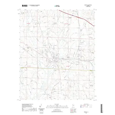
2020 Map of Winfield
USGS Topo · Published 2020About this map
The boundary between Marion and Fayette Counties runs through this portion of Alabama, where the city of Winfield serves as a primary hub. The landscape is defined by the branching waters of Luxapallila Creek and its eastern branch, alongside Moss Creek and Turkey Creek. This 2020 record of the area captures several small settlements including Guin, Twin, Brilliant, and the uniquely named Gu-Win.
Find a feature on this map
174 named features on this map. Tap any name to fly to it.
Don’t see what you’re looking for? This feature index may not catch every label — zoom into the map to look around manually.
Map Details
Editions of this 2020 Winfield Map
This is the sole edition of this map. No revisions or reprints were ever made.
Other maps of this area

1953 · Birmingham
USGS Topo · 1:250,000

1956 · Birmingham
USGS Topo · 1:250,000

1956 · Gadsden
USGS Topo · 1:250,000

1957 · Birmingham
USGS Topo · 1:250,000

1958 · Gadsden
USGS Topo · 1:250,000

1958 · Gold Mine
USGS Topo · 1:24,000

1960 · Gadsden
USGS Topo · 1:250,000

1963 · Gadsden
USGS Topo · 1:250,000

1967 · Winfield SE
USGS Topo · 1:24,000

1967 · Hubbertville
USGS Topo · 1:24,000