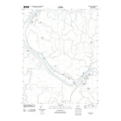
2011 Map of Winfield
USGS Topo · Published 2011About this map
The Kanawha River serves as the central artery for this Putnam County landscape, dictating the placement of historic river towns and critical infrastructure. The Winfield Locks and Dam stands as a significant landmark of river navigation, positioned near the regional hub of Winfield. This era shows a string of riverside settlements including Buffalo, Eleanor, and Fraziers Bottom, each maintaining its own identity with dedicated postal facilities like the Buffalo Post Office and Eleanor Post Office.
Find a feature on this map
67 named features on this map. Tap any name to fly to it.
Don’t see what you’re looking for? This feature index may not catch every label — zoom into the map to look around manually.
Map Details
Editions of this 2011 Winfield Map
This is the sole edition of this map. No revisions or reprints were ever made.
Other maps of this area

1892 · Huntington
USGS Topo · 1:125,000

1898 · Huntington
USGS Topo · 1:125,000

1899 · Charleston
USGS Topo · 1:125,000

1902 · Milton
USGS Topo · 1:62,500

1906 · Glenwood
USGS Topo · 1:62,500

1906 · Winfield
USGS Topo · 1:62,500

1908 · Glenwood
USGS Topo · 1:62,500

1908 · Winfield
USGS Topo · 1:62,500

1909 · Saint Albans
USGS Topo · 1:62,500

1931 · Saint Albans
USGS Topo · 1:62,500