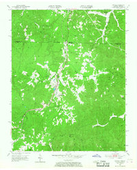
1953 Map of Winfield
USGS Topo · Published 1968About this map
The Southern railroad corridor forms the spine of this mid-century survey, tracking the border where MC Creary Co Kentucky meets Scott Co Tennessee. The settlement of Winfield serves as a central hub, surrounded by a dense network of local institutions that reflect the region's community life in the early 1950s. Named schools such as Emby King Sch and Upper Marsh Creek Sch are plotted alongside numerous country churches, including Highway Ch and Pleasant Grove Ch.
Find a feature on this map
45 named features on this map. Tap any name to fly to it.
Don’t see what you’re looking for? This feature index may not catch every label — zoom into the map to look around manually.
Map Details
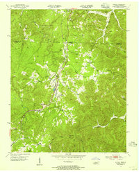
Editions of this 1953 Winfield Map
2 editions found
Other maps of this area

1890 · Williamsburg
USGS Topo · 1:125,000

1893 · Briceville
USGS Topo · 1:125,000

1894 · Williamsburg
USGS Topo · 1:125,000

1895 · Wartburg
USGS Topo · 1:125,000

1895 · Briceville
USGS Topo · 1:125,000

1896 · Wartburg
USGS Topo · 1:125,000

1896 · Briceville
USGS Topo · 1:125,000

1934 · Barthell
USGS Topo · 1:62,500

1936 · Pioneer
USGS Topo · 1:24,000
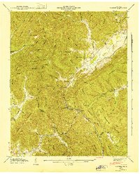
1946 · Pioneer
USGS Topo · 1:24,000