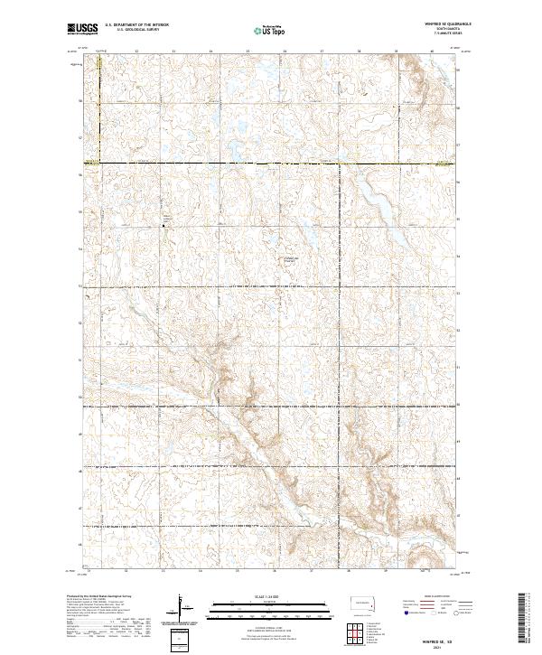
2021 Map of Winfred SE
USGS Topo · Published 2021About this map
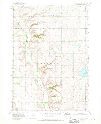
The Coteau des Prairies plateau dominates this prairie landscape, where the rolling highlands of southeastern South Dakota meet the drainage basins of the Vermillion River system. The Salem Lutheran Cem stands as a primary cultural landmark along 443rd Ave, marking a centered point of community history in an area characterized by its grid-based township and range organization. The terrain is defined by its watercourses, including the Little Vermillion River which winds through the southern reaches and the E Fork Vermillion River in the northeast corner. This map illustrates the intersection of several counties, including the border where Miner, Lake, and McCook counties meet. The network of section lines and gravel roads like Co Hwy 56 and Co Hwy 58 highlights the enduring agrarian structure of the region.
Find a feature on this map
28 named features on this map. Tap any name to fly to it.
Don’t see what you’re looking for? This feature index may not catch every label — zoom into the map to look around manually.
Map Details
Editions of this 2021 Winfred SE Map
This is the sole edition of this map. No revisions or reprints were ever made.
Historical Maps of Vermillion Township Through Time
16 maps found
1964 Bridgewater East
McCook County, SD
1964 East Vermillion Lake
McCook County, SD
1964 Salem NE
McCook County, SD
1968 Lake Madison SW
McCook County, SD
1971 Unityville
McCook County, SD
1971 Winfred SE
McCook County, SD
1973 Bridgewater West
McCook County, SD
1973 Canova SE
McCook County, SD
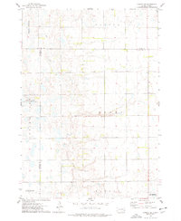
2021 Bridgewater East
McCook County, SD
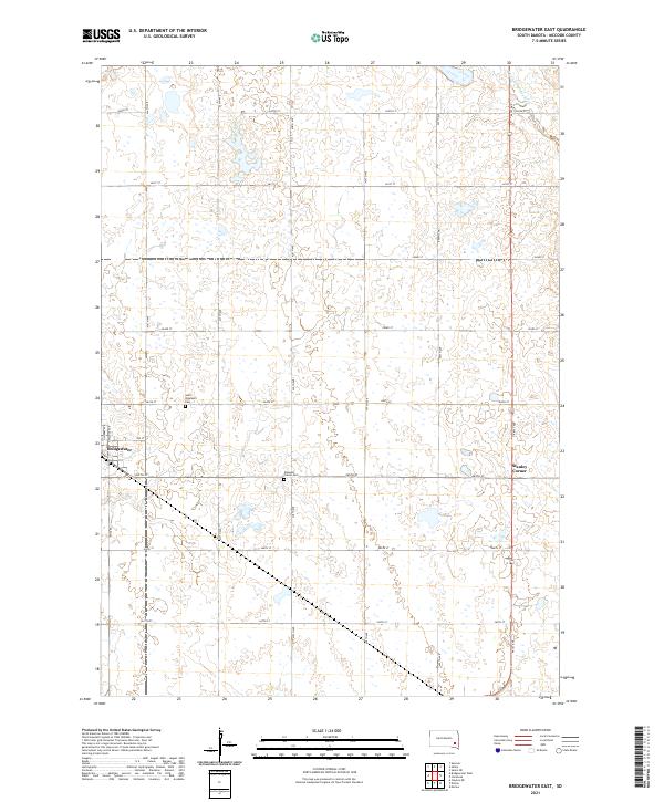
2021 Bridgewater West
McCook County, SD
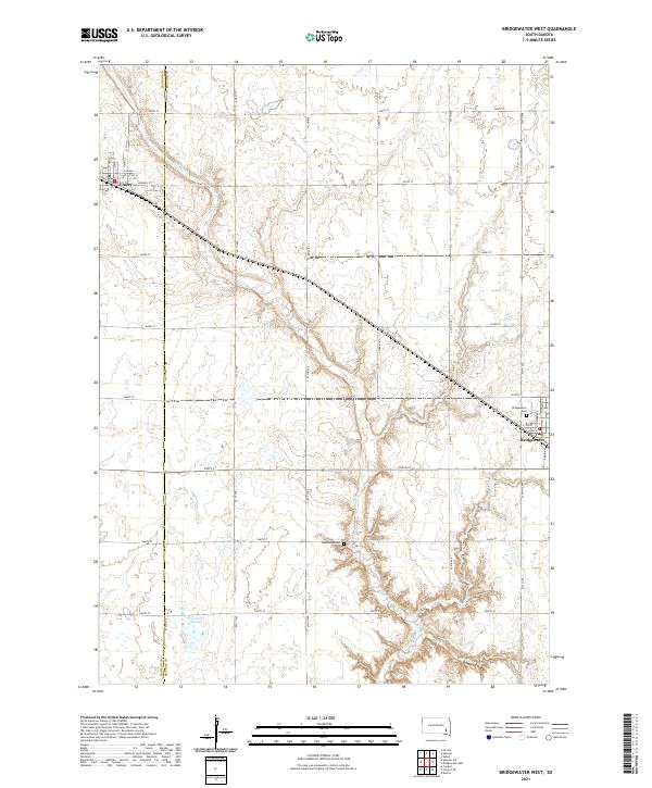
2021 Canova SE
McCook County, SD
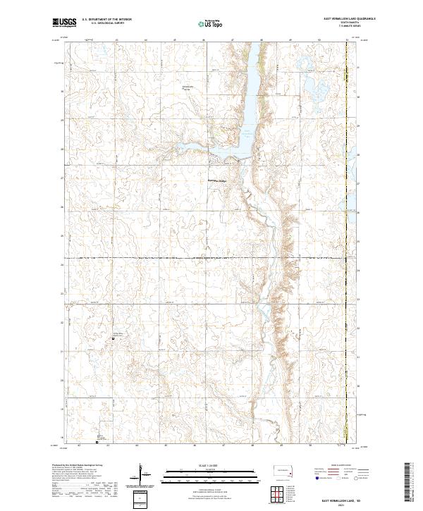
2021 East Vermillion Lake
McCook County, SD
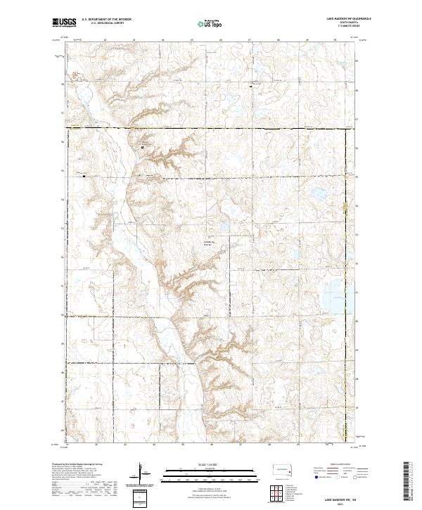
2021 Lake Madison SW
McCook County, SD
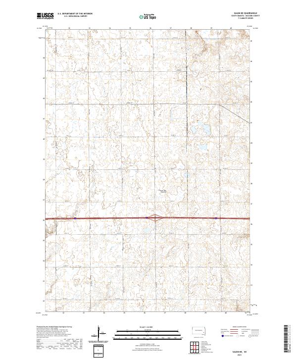
2021 Salem NE
McCook County, SD
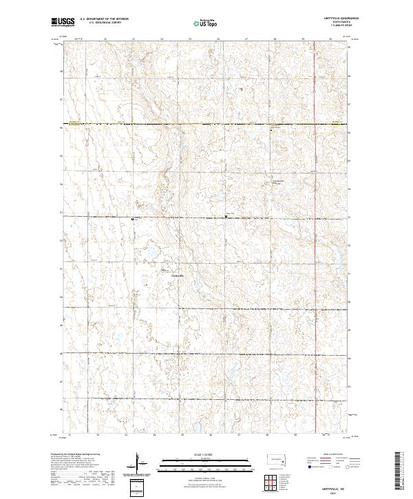
2021 Unityville
McCook County, SD
2021 Winfred SE
McCook County, SD
Featured Locations
- Clarno Township, SD
- Vermillion Township, SD
- Richland Township, SD
- Sun Prairie Township, SD
- Brookfield Township, SD