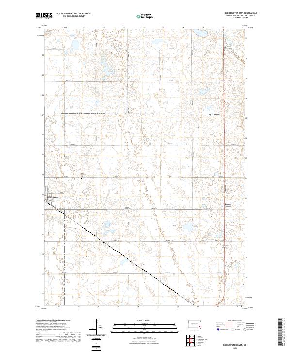
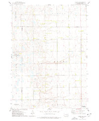
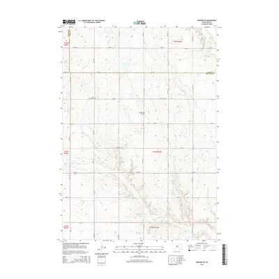
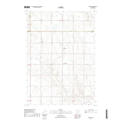
2021 Map of Bridgewater East
USGS Topo · Published 2021About this map
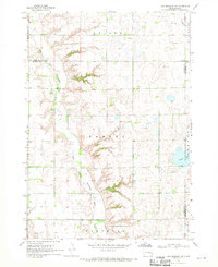
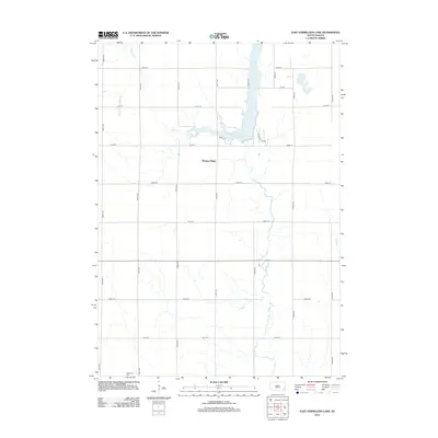
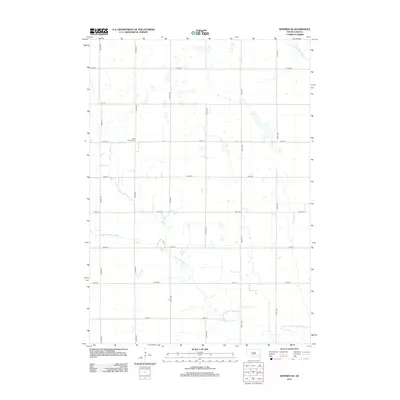
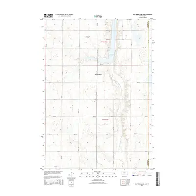
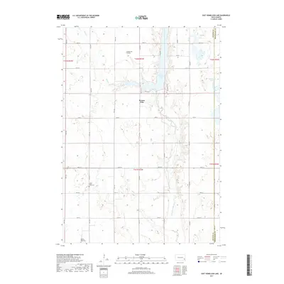
The town of Bridgewater anchors the western edge of this prairie landscape in McCook County, situated at the junction of BH20 Rd and 265th St. This 2021 survey illustrates a grid-defined rural environment where agricultural section lines are punctuated by critical local landmarks. Notable sites for genealogical research include Saint Stephen's Cem and Pleasant Prairie Cem, which serve as permanent records of the area's early settlers. The eastern boundary is defined by the winding course of the West Fork Vermillion River, while the small settlement of Stanley Corner sits at a prominent crossroads. The map reflects a landscape deeply tied to its original township and range system, maintaining a traditional South Dakota settlement pattern while showing the contemporary road network, including 441st Ave and 260th St.
Find a feature on this map
27 named features on this map. Tap any name to fly to it.
Don’t see what you’re looking for? This feature index may not catch every label — zoom into the map to look around manually.
Map Details
Editions of this 2021 Bridgewater East Map
This is the sole edition of this map. No revisions or reprints were ever made.
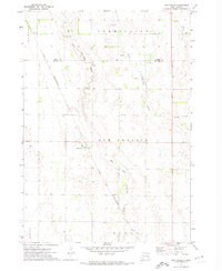
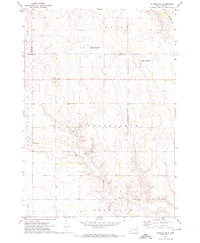
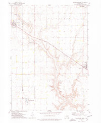
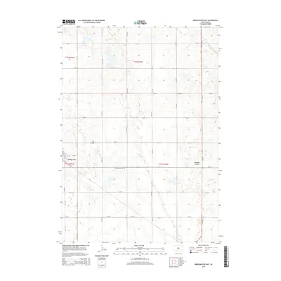
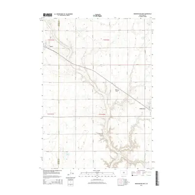
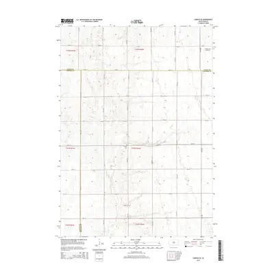
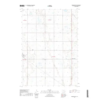
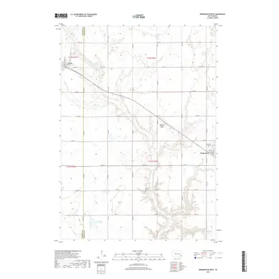
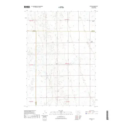
Historical Maps of Bridgewater Through Time
40 maps found
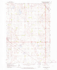
1964 Bridgewater East
McCook County, SD
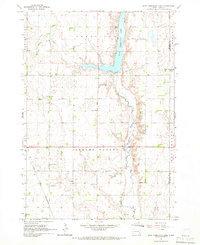
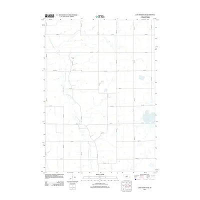
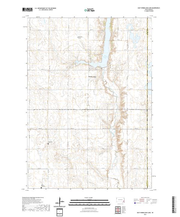
1964 East Vermillion Lake
McCook County, SD
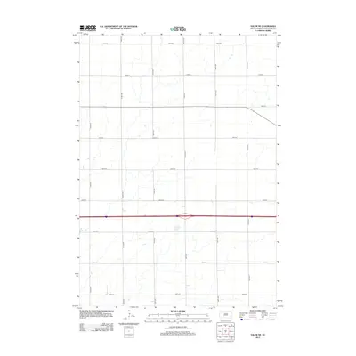
1964 Salem NE
McCook County, SD
1968 Lake Madison SW
McCook County, SD
1971 Unityville
McCook County, SD
1971 Winfred SE
McCook County, SD
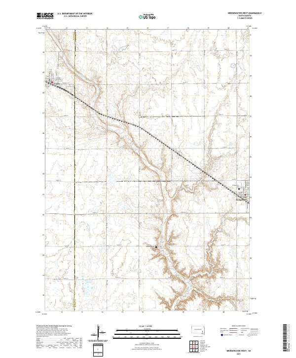
1973 Bridgewater West
McCook County, SD
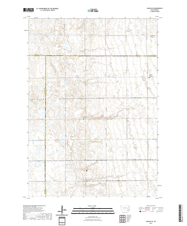
1973 Canova SE
McCook County, SD
2012 Bridgewater East
McCook County, SD
2012 Bridgewater West
McCook County, SD
2012 Canova SE
McCook County, SD
2012 East Vermillion Lake
McCook County, SD
2012 Lake Madison SW
McCook County, SD
2012 Salem NE
McCook County, SD
2012 Unityville
McCook County, SD
2012 Winfred SE
McCook County, SD
2015 Bridgewater East
McCook County, SD
2015 Bridgewater West
McCook County, SD
2015 Canova SE
McCook County, SD
2015 East Vermillion Lake
McCook County, SD
2015 Lake Madison SW
McCook County, SD
2015 Salem NE
McCook County, SD
2015 Unityville
McCook County, SD
2015 Winfred SE
McCook County, SD
2017 Bridgewater East
McCook County, SD
2017 Bridgewater West
McCook County, SD
2017 Canova SE
McCook County, SD
2017 East Vermillion Lake
McCook County, SD
2017 Lake Madison SW
McCook County, SD
2017 Salem NE
McCook County, SD
2017 Unityville
McCook County, SD
2017 Winfred SE
McCook County, SD
2021 Bridgewater East
McCook County, SD
2021 Bridgewater West
McCook County, SD
2021 Canova SE
McCook County, SD
2021 East Vermillion Lake
McCook County, SD
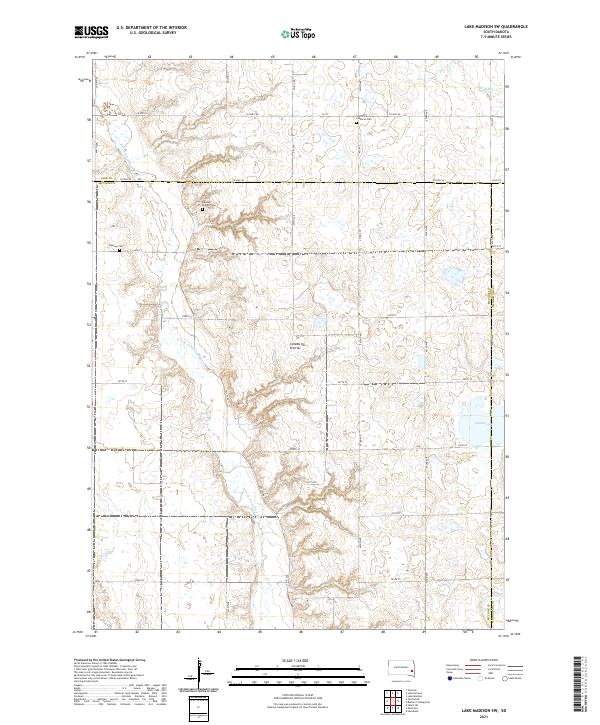
2021 Lake Madison SW
McCook County, SD
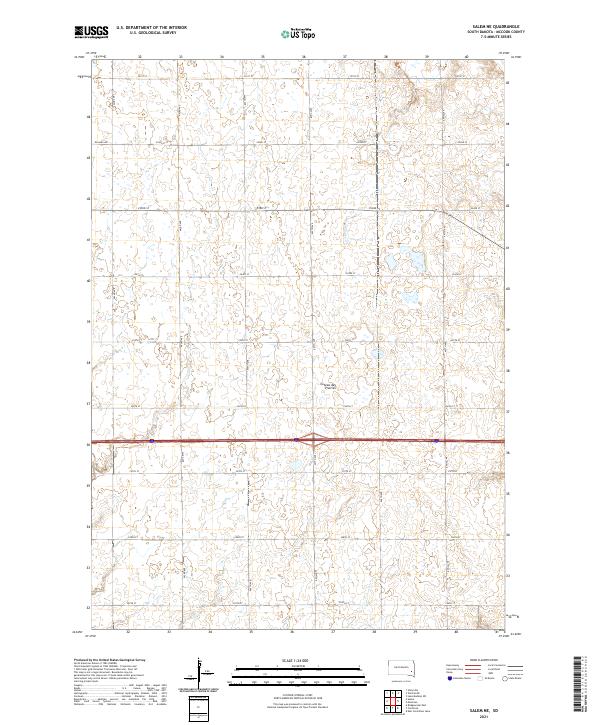
2021 Salem NE
McCook County, SD
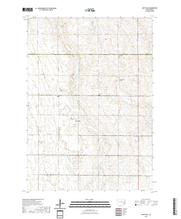
2021 Unityville
McCook County, SD
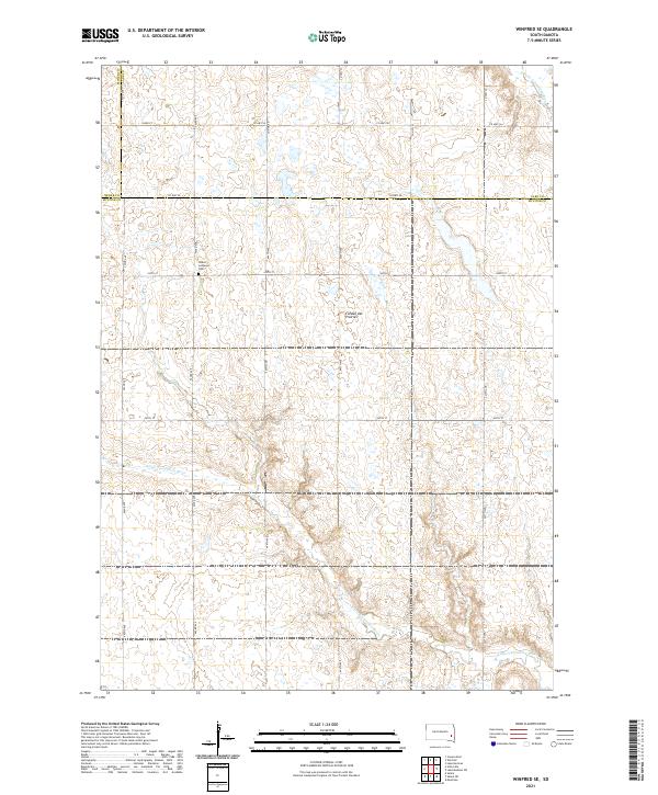
2021 Winfred SE
McCook County, SD
Featured Locations
- Union Township, SD
- Emery Township, SD
- Meadow View Hutterite Colony, Emery Township
- Bridgewater, Bridgewater Township
- Stanley Corner, Union Township