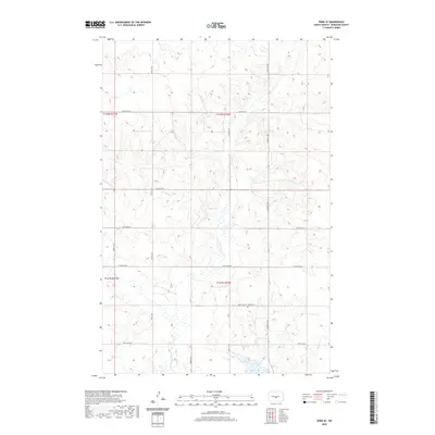
2020 Map of Wing SE
USGS Topo · Published 2020About this map
Ahola Cem sits along a quiet section line road in this corner of North Dakota, serving as a significant genealogical marker for the rural community. The landscape is defined by the winding course of the E Br Apple Cr, which meanders across the prairie towards the southern edge of the survey near Rice Lake. This 2020 map documents the persistent grid system of the Public Land Survey, where a network of gravel roads including 275th St NE and 266th Ave NE provide access to isolated farmsteads and open wetlands. The geography reflects the glaciated terrain of the Missouri Plateau, characterized by small kettle ponds and seasonal drainages that have shaped local land use and transit since the era of early settlement.
Find a feature on this map
18 named features on this map. Tap any name to fly to it.
Don’t see what you’re looking for? This feature index may not catch every label — zoom into the map to look around manually.
Map Details
Editions of this 2020 Wing SE Map
This is the sole edition of this map. No revisions or reprints were ever made.
Other maps of this area

1951 · McKenzie
USGS Topo · 1:62,500

1951 · Driscoll
USGS Topo · 1:62,500

1954 · Bismarck
USGS Topo · 1:250,000

1954 · McClusky
USGS Topo · 1:250,000

1958 · Bismarck
USGS Topo · 1:250,000

1958 · McClusky
USGS Topo · 1:250,000

1975 · Sibley Butte
USGS Topo · 1:24,000

1975 · Wing SE
USGS Topo · 1:24,000
1975 · McKenzie NW
USGS Topo · 1:24,000
1975 · Wing SW
USGS Topo · 1:24,000