
1892 Map of Wingate
USGS Topo · Published 1892About this map
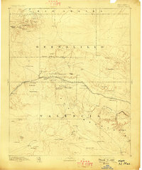
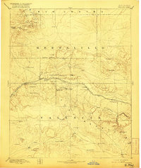
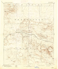
Fort Wingate serves as a central anchor for this late nineteenth-century landscape, positioned along the vital corridor of the Atlantic and Pacific Railroad. The rail line, which tracks through the central portion of the sheet, connects frontier settlements like Gallup, Manuelito, and Coolidge. In the southern reaches, the Zuni Mountains rise above the high desert, where historical locations such as Zuni, Old Zuni, and Inscription Rock reveal the long-standing indigenous and colonial presence in the region.
Find a feature on this map
58 named features on this map. Tap any name to fly to it.
Don’t see what you’re looking for? This feature index may not catch every label — zoom into the map to look around manually.
Map Details
Editions of this 1892 Wingate Map
4 editions found
Other maps of this area

1883 · Mt. Taylor
USGS Topo · 1:250,000

1886 · St Johns
USGS Topo · 1:250,000

1886 · Wingate
USGS Topo · 1:250,000

1886 · Mt. Taylor
USGS Topo · 1:250,000

1886 · Fort Defiance
USGS Topo · 1:250,000

1889 · Largo
USGS Topo · 1:250,000

1889 · Chaco
USGS Topo · 1:250,000

1892 · Fort Defiance
USGS Topo · 1:250,000

1892 · St Johns
USGS Topo · 1:250,000

1892 · Chaco
USGS Topo · 1:250,000
Featured Places
- Gallup, NM
- Fort Defiance Agency
- Eastern Navajo Agency, NM
- Crownpoint, Eastern Navajo Agency
- Tohatchi, Fort Defiance Agency