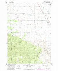
1967 Map of Wingville
USGS Topo · Published 1985About this map
Baker Valley transitions from agricultural lowlands into the timbered slopes of the Whitman National Forest in this mid-century survey. The settlement of Wingville serves as a local hub, supported by the Wingville Cem and nearby water sources like Pine Creek and De Voss Pond. The landscape is defined by an intricate network of irrigation and water management, including the Salmon Creek Aqueduct and the Municipal Aqueduct which feed the region's ranching and municipal needs.
Find a feature on this map
39 named features on this map. Tap any name to fly to it.
Don’t see what you’re looking for? This feature index may not catch every label — zoom into the map to look around manually.
Map Details
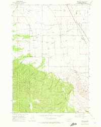
Editions of this 1967 Wingville Map
2 editions found
Other maps of this area

1901 · Baker City
USGS Topo · 1:125,000

1901 · Sumpter
USGS Topo · 1:125,000

1955 · Baker
USGS Topo · 1:250,000

1955 · Canyon City
USGS Topo · 1:250,000

1959 · Baker
USGS Topo · 1:250,000

1959 · Canyon City
USGS Topo · 1:250,000

1967 · Baker
USGS Topo · 1:24,000
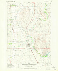
1967 · Haines
USGS Topo · 1:24,000
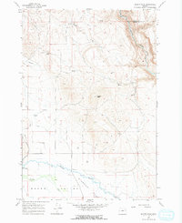
1967 · Magpie Peak
USGS Topo · 1:24,000

1967 · Blue Canyon
USGS Topo · 1:24,000