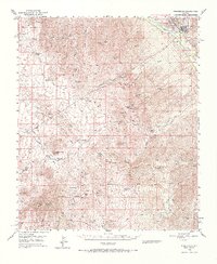
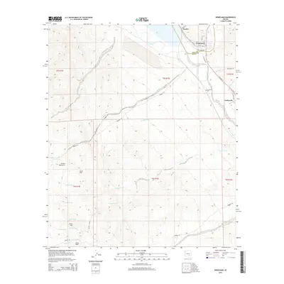
1949 Map of Winkelman
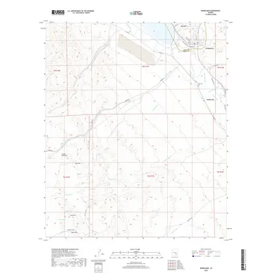
USGS Topo · Published 1966About this map
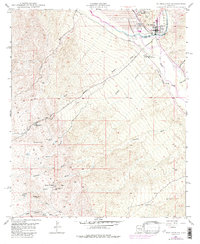
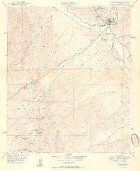
The confluence of the Gila River and the San Pedro River serves as the industrial and social hub of this Arizona landscape, dominated by the mining and processing operations at Hayden and Winkelman. Large Tailings Pond and a prominent Reservoir near the Southern Pacific rail lines highlight the era's heavy reliance on river-bottom resources for smelting and extraction. Outside the river valleys, the terrain is defined by a network of ranching homesteads and ephemeral washes, including Tony Lopez Ranch, English Ranch, and the Barkerville (Site). Mineral exploration is evident in the surrounding hills, noted by the Sample Mine and the Silver Queen Mine. The inclusion of the Hayden Country Club alongside these industrial works reveals the established community life that grew around the copper operations in the late 1940s.
Find a feature on this map
82 named features on this map. Tap any name to fly to it.
Don’t see what you’re looking for? This feature index may not catch every label — zoom into the map to look around manually.
Map Details
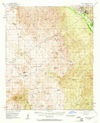
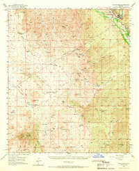
Editions of this 1949 Winkelman Map
3 editions found
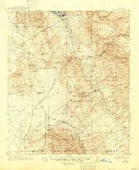
Historical Maps of Winkelman Through Time
10 maps found

1911 Winkelman
Pinal County, AZ
1913 Winkelman
Pinal County, AZ
1949 Winkelman
Pinal County, AZ
1949 Winkelman
Pinal County, AZ
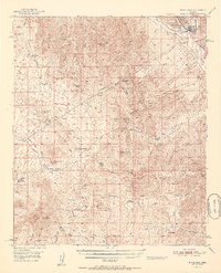
1950 Winkelman
Pinal County, AZ
1951 Winkelman
Pinal County, AZ
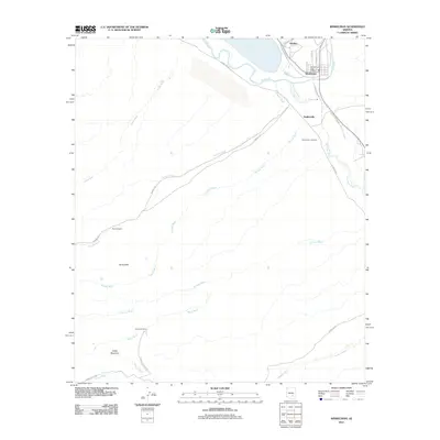
2011 Winkelman
Pinal County, AZ
2014 Winkelman
Pinal County, AZ
2018 Winkelman
Pinal County, AZ
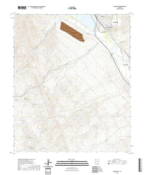
2021 Winkelman
Pinal County, AZ