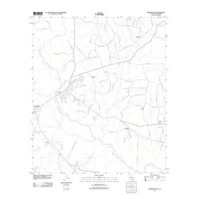
2012 Map of Winnfield East
USGS Topo · Published 2012About this map
The Dugdemona River meanders through the central landscape of Winn Parish, defining the drainage patterns for numerous tributaries like Port de Luce Cr and Creosote Br. This 2012 survey illustrates the eastern outskirts of Winnfield and the nearby community of Joyce, where residential streets transition into a dense network of parish roads. Local history is anchored by sites such as the Old Pleasant Hill Cem and Boyett Cem, which serve as vital landmarks for genealogical research in this part of Louisiana.
Find a feature on this map
104 named features on this map. Tap any name to fly to it.
Don’t see what you’re looking for? This feature index may not catch every label — zoom into the map to look around manually.
Map Details
Editions of this 2012 Winnfield East Map
This is the sole edition of this map. No revisions or reprints were ever made.
Other maps of this area

1949 · Jonesboro
USGS Topo · 1:62,500

1950 · Jonesboro
USGS Topo · 1:62,500

1950 · Winnfield
USGS Topo · 1:62,500

1951 · Winnfield
USGS Topo · 1:62,500

1953 · Alexandria
USGS Topo · 1:250,000

1954 · Sikes
USGS Topo · 1:62,500

1954 · Tullos
USGS Topo · 1:62,500

1955 · Shreveport
USGS Topo · 1:250,000

1955 · Alexandria
USGS Topo · 1:250,000

1956 · Shreveport
USGS Topo · 1:250,000