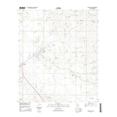
2015 Map of Winnfield East
USGS Topo · Published 2015About this map
The Dugdemona River and its complex network of tributaries, including Brushy Cr and Port de Luce Cr, define the topography of this portion of Winn Parish. The landscape is marked by small settlements such as Joyce, Colgrade, and Menefee, which sit alongside the more established seat at Winnfield. Local history is anchored by sites like Boyett Cem and Old Pleasant Hill Cem, while the interior is crisscrossed by numerous named parish roads like Booger Hollow Rd and Scroggins Rd. In the southern reaches, the geography reveals specialized natural features like Salt Spring, suggesting a varied ecological and resource profile. The distribution of these rural communities and landmarks illustrates the late-twentieth-century development of the region's timber and river-dependent economy.
Find a feature on this map
109 named features on this map. Tap any name to fly to it.
Don’t see what you’re looking for? This feature index may not catch every label — zoom into the map to look around manually.
Map Details
Editions of this 2015 Winnfield East Map
This is the sole edition of this map. No revisions or reprints were ever made.
Other maps of this area

1949 · Jonesboro
USGS Topo · 1:62,500

1950 · Jonesboro
USGS Topo · 1:62,500

1950 · Winnfield
USGS Topo · 1:62,500

1951 · Winnfield
USGS Topo · 1:62,500

1953 · Alexandria
USGS Topo · 1:250,000

1954 · Sikes
USGS Topo · 1:62,500

1954 · Tullos
USGS Topo · 1:62,500

1955 · Shreveport
USGS Topo · 1:250,000

1955 · Alexandria
USGS Topo · 1:250,000

1956 · Shreveport
USGS Topo · 1:250,000