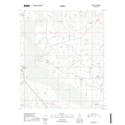
2018 Map of Winnfield East
USGS Topo · Published 2018About this map
The Dugdemona River creates a sprawling wetland corridor through the heart of Winn Parish, shaping the development of timber and transit routes in north-central Louisiana. The eastern outskirts of Winnfield and the settlement of Joyce anchor the western edge of this territory, where the terrain transitions from the river bottomlands to the wooded uplands of Menefee and Ringwood. A complex network of parish roads, such as Old Union Ch Rd and Tannehill Rd, connects these rural communities, following the higher ground between numerous tributaries like Keesche Cr and Brushy Cr.
Find a feature on this map
98 named features on this map. Tap any name to fly to it.
Don’t see what you’re looking for? This feature index may not catch every label — zoom into the map to look around manually.
Map Details
Editions of this 2018 Winnfield East Map
This is the sole edition of this map. No revisions or reprints were ever made.
Other maps of this area

1949 · Jonesboro
USGS Topo · 1:62,500

1950 · Jonesboro
USGS Topo · 1:62,500

1950 · Winnfield
USGS Topo · 1:62,500

1951 · Winnfield
USGS Topo · 1:62,500

1953 · Alexandria
USGS Topo · 1:250,000

1954 · Sikes
USGS Topo · 1:62,500

1954 · Tullos
USGS Topo · 1:62,500

1955 · Shreveport
USGS Topo · 1:250,000

1955 · Alexandria
USGS Topo · 1:250,000

1956 · Shreveport
USGS Topo · 1:250,000