
1950 Map of Winnfield
USGS Topo · Published 1960About this map
Winnfield serves as the busy hub of this mid-century survey, where the convergence of the Kansas City Southern, Arkansas and Louisiana Missouri RR, and Chicago Rock Island and Pacific RR highlights the region's importance as a transportation and timber center. The industrial character of the parish is evident in the presence of the Creosote Mill and various quarries, while the surrounding landscape is defined by the Dugdemona Boundary and numerous drainages like Kylaias Creek and Luce Branch.
Find a feature on this map
97 named features on this map. Tap any name to fly to it.
Don’t see what you’re looking for? This feature index may not catch every label — zoom into the map to look around manually.
Map Details
Editions of this 1950 Winnfield Map
3 editions found
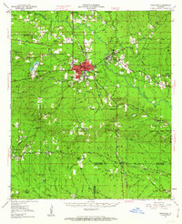
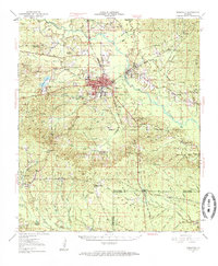
Other maps of this area

1932 · Colfax NE
USGS Topo · 1:31,680

1932 · Colfax NW
USGS Topo · 1:31,680

1935 · Verda
USGS Topo · 1:31,680

1936 · Colfax
USGS Topo · 1:62,500

1936 · Pollock
USGS Topo · 1:62,500

1937 · Montgomery
USGS Topo · 1:62,500

1941 · Pollock
USGS Topo · 1:62,500

1942 · Montgomery
USGS Topo · 1:62,500

1945 · Montgomery
USGS Topo · 1:62,500

1947 · Goldonna
USGS Topo · 1:62,500