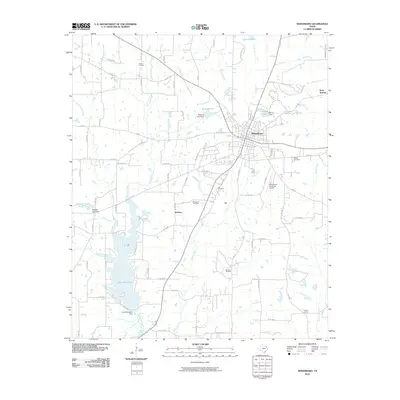
2010 Map of Winnsboro
USGS Topo · Published 2010About this map
Winnsboro serves as the focal point of this northeast Texas landscape, situated at the junction of several farm-to-market roads and county routes. The 2010 topography reveals an area deeply intertwined with the energy industry, evidenced by the presence of the Winnsboro Oil Field, Pickton Oil Field, and McCrary Oil Field scattered across the surrounding countryside. Water management is a defining characteristic of the terrain, with substantial reservoirs such as Lake Winnsboro and Lake Franklin anchoring the southern and northern reaches of the quadrangle. Smaller water features like Railroad Pool and Bryce Lake suggest historical industrial or private land uses. Genealogists and local historians will find value in the location of the Lee Cemetery and McGee Cemetery, while the presence of Carters Lookout and the small settlement of Webster provide further geographic context to this Wood and Franklin County borderland.
Find a feature on this map
83 named features on this map. Tap any name to fly to it.
Don’t see what you’re looking for? This feature index may not catch every label — zoom into the map to look around manually.
Map Details
Editions of this 2010 Winnsboro Map
This is the sole edition of this map. No revisions or reprints were ever made.
Other maps of this area

1953 · Texarkana
USGS Topo · 1:250,000

1956 · Texarkana
USGS Topo · 1:250,000

1956 · Tyler
USGS Topo · 1:250,000

1960 · Winnsboro
USGS Topo · 1:24,000

1960 · Cartwright
USGS Topo · 1:24,000

1960 · Newsome
USGS Topo · 1:24,000

1960 · Rhonesboro
USGS Topo · 1:24,000

1960 · Pleasant Grove
USGS Topo · 1:24,000

1960 · Quitman
USGS Topo · 1:24,000

1964 · Como
USGS Topo · 1:24,000