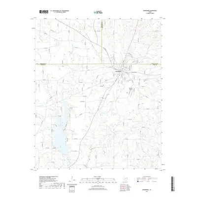
2019 Map of Winnsboro
USGS Topo · Published 2019About this map
Winnsboro serves as the focal point for this Northeast Texas landscape, where the tri-county corner of Hopkins, Wood, and Franklin counties meet. The town's grid is well-defined, stretching along W Broadway St and N Main St, while the surrounding terrain is dominated by the sprawling waters of Lake Winnsboro and Wheeler Lake to the southwest.
Find a feature on this map
127 named features on this map. Tap any name to fly to it.
Don’t see what you’re looking for? This feature index may not catch every label — zoom into the map to look around manually.
Map Details
Editions of this 2019 Winnsboro Map
This is the sole edition of this map. No revisions or reprints were ever made.
Other maps of this area

1953 · Texarkana
USGS Topo · 1:250,000

1956 · Texarkana
USGS Topo · 1:250,000

1956 · Tyler
USGS Topo · 1:250,000
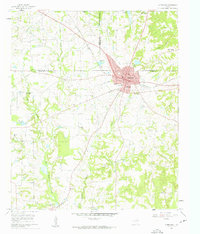
1960 · Winnsboro
USGS Topo · 1:24,000
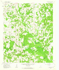
1960 · Cartwright
USGS Topo · 1:24,000
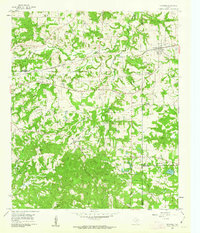
1960 · Newsome
USGS Topo · 1:24,000
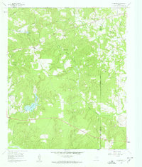
1960 · Rhonesboro
USGS Topo · 1:24,000
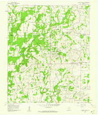
1960 · Pleasant Grove
USGS Topo · 1:24,000
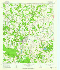
1960 · Quitman
USGS Topo · 1:24,000
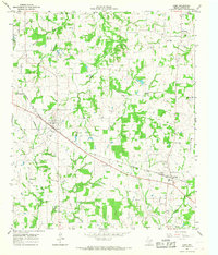
1964 · Como
USGS Topo · 1:24,000