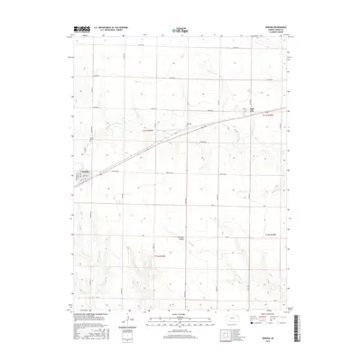
2015 Map of Winona
USGS Topo · Published 2015About this map
Winona serves as the primary hub in this western Kansas landscape, defined by a grid of rural roads and the intermittent drainage of the High Plains. The town's layout is centered near Degreer Ave and Front St, with local history anchored at the Winona Cem to the north. To the east, the smaller settlement of Page City sits near its own namesake Page Cem, reflecting the early 20th-century rail-and-road development that shaped Logan County.
Find a feature on this map
34 named features on this map. Tap any name to fly to it.
Don’t see what you’re looking for? This feature index may not catch every label — zoom into the map to look around manually.
Map Details
Editions of this 2015 Winona Map
This is the sole edition of this map. No revisions or reprints were ever made.
Other maps of this area

1954 · Goodland
USGS Topo · 1:250,000

1955 · Scott City
USGS Topo · 1:250,000

1956 · Goodland
USGS Topo · 1:250,000

1957 · Goodland
USGS Topo · 1:250,000

1958 · Scott City
USGS Topo · 1:250,000

1969 · Mc Allaster SE
USGS Topo · 1:24,000

1969 · Russell Springs 2 NE
USGS Topo · 1:24,000

1969 · Mc Allaster NE
USGS Topo · 1:24,000

1972 · Russell Springs
USGS Topo · 1:24,000

1972 · Monument
USGS Topo · 1:24,000