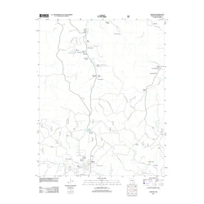
2011 Map of Winona
USGS Topo · Published 2011About this map
Winona anchors this southern Missouri landscape, where the Ozark terrain is defined by a complex network of hollows and valleys. The settlement pattern is largely shaped by the winding paths of Shawnee Creek and Sycamore Creek, with smaller communities like Shawne and Munsell situated near the edges of the quadrangle. Local infrastructure includes a series of named dams such as Deel Lake Dam and Hunt Lake Dam, creating small reservoirs that serve the area alongside the Lewis Lake Picnic Area.
Find a feature on this map
62 named features on this map. Tap any name to fly to it.
Don’t see what you’re looking for? This feature index may not catch every label — zoom into the map to look around manually.
Map Details
Editions of this 2011 Winona Map
This is the sole edition of this map. No revisions or reprints were ever made.
Other maps of this area

1915 · Eminence
USGS Topo · 1:62,500

1917 · Eminence
USGS Topo · 1:62,500

1928 · Cardareva
USGS Topo · 1:62,500

1931 · Bandyville
USGS Topo · 1:48,000

1944 · Van Buren
USGS Topo · 1:62,500

1944 · Birch Tree
USGS Topo · 1:62,500

1946 · Van Buren
USGS Topo · 1:62,500

1948 · Birch Tree
USGS Topo · 1:62,500

1949 · Rolla
USGS Topo · 1:250,000

1949 · Cardareva
USGS Topo · 1:62,500