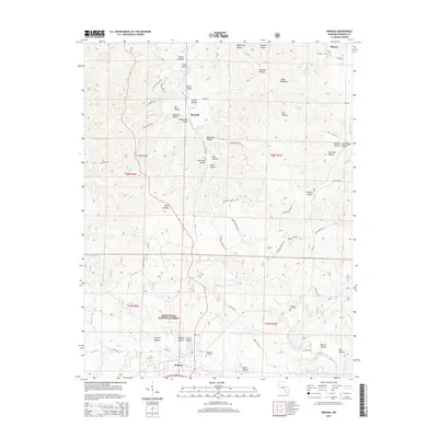
2015 Map of Winona
USGS Topo · Published 2015About this map
Winona serves as the primary population center in this 2015 survey of Shannon County, situated at the edge of the expansive Mark Twain National Forest. The landscape is defined by a dense network of named hollows and valleys that channel water into seasonal and permanent streams like Pike Cr and Sycamore Cr. Historically significant sites for genealogists include Williams Cemetery and Pine Lawn Cemetery, which sit alongside established rural settlements such as Munsell.
Find a feature on this map
63 named features on this map. Tap any name to fly to it.
Don’t see what you’re looking for? This feature index may not catch every label — zoom into the map to look around manually.
Map Details
Editions of this 2015 Winona Map
This is the sole edition of this map. No revisions or reprints were ever made.
Other maps of this area

1915 · Eminence
USGS Topo · 1:62,500

1917 · Eminence
USGS Topo · 1:62,500

1928 · Cardareva
USGS Topo · 1:62,500

1931 · Bandyville
USGS Topo · 1:48,000

1944 · Van Buren
USGS Topo · 1:62,500

1944 · Birch Tree
USGS Topo · 1:62,500

1946 · Van Buren
USGS Topo · 1:62,500

1948 · Birch Tree
USGS Topo · 1:62,500

1949 · Rolla
USGS Topo · 1:250,000

1949 · Cardareva
USGS Topo · 1:62,500