Loading...
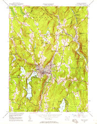
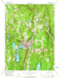
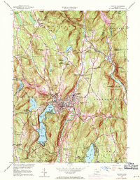
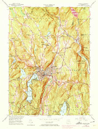
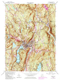
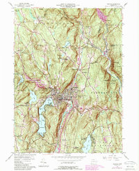
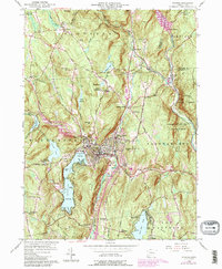
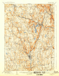
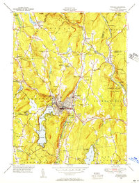
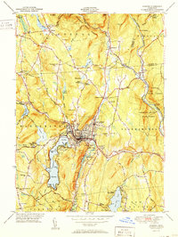
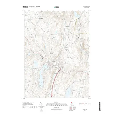
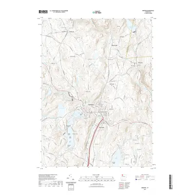
Loading map...1956 Map of Winsted
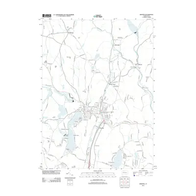
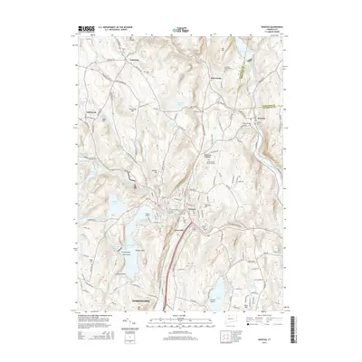
USGS Topo · Published 1958About this map
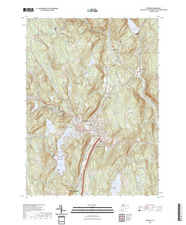
Winsted sits at the convergence of the Mad River and Still River, serving as a dense industrial and civic hub in the mid-1950s. The landscape is defined by its water resources and outdoor recreation, from the long profile of Highland Lake with its three distinct bays to the numerous youth camps like Camp Workcoeman and Camp Sequassen near West Hill Pond. In the northeast, the Farmington River valley shows infrastructure in progress at The Hogsback, a major public works project of the era.
Find a feature on this map
77 named features on this map. Tap any name to fly to it.
Don’t see what you’re looking for? This feature index may not catch every label — zoom into the map to look around manually.
Map Details
Date Portrayed1956
Date Published1958
PublisherU.S. Geological Survey
Map TypeTopographic
Scale1:24,000
Physical Dimensions21 x 26.8 inches
Editions of this 1956 Winsted Map
7 editions found
Historical Maps of Torrington Through Time
9 maps found
Featured Locations
Source Details
SourceU.S. Geological Survey
CopyrightPublic Domain