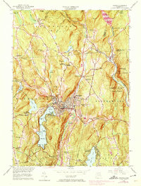
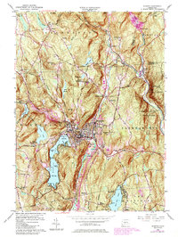
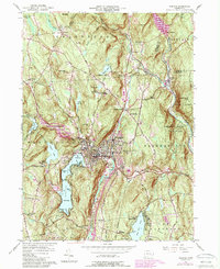
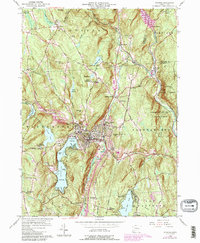
1956 Map of Winsted
USGS Topo · Published 1974About this map
The industrial and residential heart of Winsted sits at the confluence of the Still River and Mad River, a location defined by the steep valleys of the Litchfield hills. This mid-century survey captures the community shortly after the 1955 floods, showing the Mad River Dam and the spillway as critical infrastructure. To the west, Highland Lake remains a major center for recreation and local life, featuring several distinct points like Indian Point and Wheeler Point.
Find a feature on this map
89 named features on this map. Tap any name to fly to it.
Don’t see what you’re looking for? This feature index may not catch every label — zoom into the map to look around manually.
Map Details
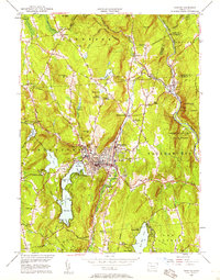
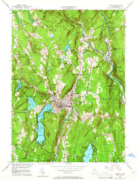
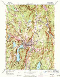
Editions of this 1956 Winsted Map
7 editions found
Other maps of this area

1887 · Granville
USGS Topo · 1:62,500

1888 · Sandisfield
USGS Topo · 1:62,500

1889 · Granville
USGS Topo · 1:62,500

1892 · Winsted
USGS Topo · 1:62,500

1892 · Granby
USGS Topo · 1:62,500

1893 · Granville
USGS Topo · 1:62,500

1893 · Sandisfield
USGS Topo · 1:62,500

1895 · Granville
USGS Topo · 1:62,500

1896 · Holyoke
USGS Topo · 1:125,000

1897 · Sandisfield
USGS Topo · 1:62,500