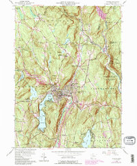
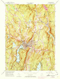
1956 Map of Winsted
USGS Topo · Published 1988About this map
Winsted serves as the industrial and residential heart of this region, situated at the confluence of the Mad River and the Still River. The surrounding landscape is defined by the heavy timber of the Algonquin State Forest and Peoples State Forest, while the recreation-focused shores of Highland Lake are divided into First Bay, Second Bay, and Third Bay. Genealogists will find a wealth of local burial sites, including the Old North Road Burying Ground and Colebrook River Burying Ground, alongside landmarks like The Little Red Schoolhouse in the southwest. The presence of several youth camps, such as Camp Delaware and Camp Workcoeman, reflects the area's mid-century role as a summer retreat. In the east, the Farmington River winds through the American Legion State Forest, highlighting the managed natural resources that shaped the economy of Winchester and Barkhamsted.
Find a feature on this map
72 named features on this map. Tap any name to fly to it.
Don’t see what you’re looking for? This feature index may not catch every label — zoom into the map to look around manually.
Map Details
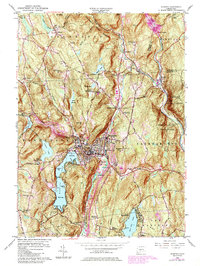
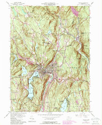
Editions of this 1956 Winsted Map
7 editions found
Other maps of this area

1887 · Granville
USGS Topo · 1:62,500

1888 · Sandisfield
USGS Topo · 1:62,500

1889 · Granville
USGS Topo · 1:62,500

1892 · Winsted
USGS Topo · 1:62,500

1892 · Granby
USGS Topo · 1:62,500

1893 · Granville
USGS Topo · 1:62,500

1893 · Sandisfield
USGS Topo · 1:62,500

1895 · Granville
USGS Topo · 1:62,500

1896 · Holyoke
USGS Topo · 1:125,000

1897 · Sandisfield
USGS Topo · 1:62,500