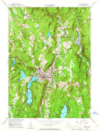
1956 Map of Winsted
USGS Topo · Published 1966About this map
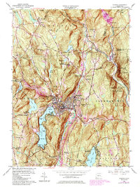
Winsted serves as the industrial and social hub of this mid-century survey, situated at the confluence of the Mad River and the Still River. The surrounding Litchfield County landscape is defined by its recreation and forestry, featuring the sprawling waters of Highland Lake with its distinct First Bay, Second Bay, and Third Bay. Further south, West Hill Pond is ringed by established youth camps such as Camp Workcoeman and Camp Sequassen, illustrating the area's long-standing tradition as a summer destination.
Find a feature on this map
75 named features on this map. Tap any name to fly to it.
Don’t see what you’re looking for? This feature index may not catch every label — zoom into the map to look around manually.
Map Details
Editions of this 1956 Winsted Map
7 editions found
Other maps of this area

1887 · Granville
USGS Topo · 1:62,500

1888 · Sandisfield
USGS Topo · 1:62,500

1889 · Granville
USGS Topo · 1:62,500

1892 · Winsted
USGS Topo · 1:62,500

1892 · Granby
USGS Topo · 1:62,500

1893 · Granville
USGS Topo · 1:62,500

1893 · Sandisfield
USGS Topo · 1:62,500

1895 · Granville
USGS Topo · 1:62,500

1896 · Holyoke
USGS Topo · 1:125,000

1897 · Sandisfield
USGS Topo · 1:62,500