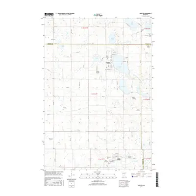
2016 Map of Winsted
USGS Topo · Published 2016About this map
Winsted and Lester Prairie anchor this corner of the Minnesota prairie, where a landscape of glacial depressions is marked by numerous lakes and former lakebeds. The drainage pattern is defined by the S Fork Crow River and Judicial Ditch Number One, winding through a rural grid of county roads. For genealogists, the map is remarkably dense with burial sites, including the Nylunda Cem, Swedish Cem, and two separate locations for Holy Trinity Cem. The presence of several features labeled as lakebeds, such as Roach Lakebed and Cloustier Lakebed, illustrates the ongoing transformation of the regional hydrology through agricultural drainage. Transportation and community life center on sites like the Winsted Municipal Airport and the local parishes, including Saint Peter Cem and Saint Paul Cem.
Find a feature on this map
73 named features on this map. Tap any name to fly to it.
Don’t see what you’re looking for? This feature index may not catch every label — zoom into the map to look around manually.
Map Details
Editions of this 2016 Winsted Map
This is the sole edition of this map. No revisions or reprints were ever made.
Other maps of this area

1953 · Saint Paul
USGS Topo · 1:250,000

1953 · New Ulm
USGS Topo · 1:250,000

1953 · Saint Cloud
USGS Topo · 1:250,000

1953 · Stillwater
USGS Topo · 1:250,000

1955 · Stillwater
USGS Topo · 1:250,000

1957 · Saint Cloud
USGS Topo · 1:250,000

1957 · New Ulm
USGS Topo · 1:250,000

1957 · Waconia
USGS Topo · 1:62,500

1958 · New Ulm
USGS Topo · 1:250,000

1958 · Stillwater
USGS Topo · 1:250,000
Featured Places
- Winsted, MN
- Lester Prairie, MN
- Parkview Mobile Home Park, Lester Prairie
- Hollywood Township, MN
- Victor Township, MN