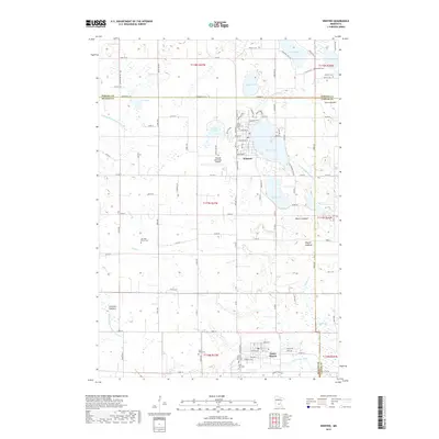
2019 Map of Winsted
USGS Topo · Published 2019About this map
Winsted and Lester Prairie anchor this agricultural landscape in eastern McLeod County during the late 2010s. The map captures a region defined by its complex hydrology, where several former lake basins are now identified as lakebeds, such as Swan Lakebed and Cloustier Lakebed. This transition from open water to managed drainage is evident in the network of engineered waterways, including Judicial Ditch Number Eleven and Judicial Ditch Number Thirtytwo, which facilitate local farming across the county lines of Carver and Wright.
Find a feature on this map
108 named features on this map. Tap any name to fly to it.
Don’t see what you’re looking for? This feature index may not catch every label — zoom into the map to look around manually.
Map Details
Editions of this 2019 Winsted Map
This is the sole edition of this map. No revisions or reprints were ever made.
Other maps of this area

1953 · Saint Paul
USGS Topo · 1:250,000

1953 · New Ulm
USGS Topo · 1:250,000

1953 · Saint Cloud
USGS Topo · 1:250,000

1953 · Stillwater
USGS Topo · 1:250,000

1955 · Stillwater
USGS Topo · 1:250,000

1957 · Saint Cloud
USGS Topo · 1:250,000

1957 · New Ulm
USGS Topo · 1:250,000

1957 · Waconia
USGS Topo · 1:62,500

1958 · New Ulm
USGS Topo · 1:250,000

1958 · Stillwater
USGS Topo · 1:250,000
Featured Places
- Winsted, MN
- Lester Prairie, MN
- Parkview Mobile Home Park, Lester Prairie
- Hollywood Township, MN
- Victor Township, MN