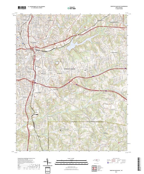
2022 Map of Winston-Salem East
USGS Topo · Published 2022About this map
Winston-Salem and its eastern residential and industrial expansion are depicted here, centering on the city's academic core and critical infrastructure. The map highlights prominent educational institutions including Salem College, Winston-Salem State University, and the University of North Carolina School of the Arts, clustered near the downtown area. Moving outward, the landscape transitions from established neighborhoods like Columbia Heights and East Winston to the industrial character of the Piedmont Quarry and the strategic Smith Reynolds Airport.
Find a feature on this map
134 named features on this map. Tap any name to fly to it.
Don’t see what you’re looking for? This feature index may not catch every label — zoom into the map to look around manually.
Map Details
Editions of this 2022 Winston-Salem East Map
This is the sole edition of this map. No revisions or reprints were ever made.
Other maps of this area

1949 · Eller
USGS Topo · 1:24,000

1949 · High Point West
USGS Topo · 1:24,000

1950 · Winston-Salem West
USGS Topo · 1:24,000

1950 · Winston-Salem East
USGS Topo · 1:24,000

1951 · Winston-Salem West
USGS Topo · 1:24,000

1951 · Winston-Salem East
USGS Topo · 1:24,000

1951 · Rural Hall
USGS Topo · 1:24,000

1951 · Walkertown
USGS Topo · 1:24,000

1953 · Charlotte
USGS Topo · 1:250,000

1953 · Winston-Salem
USGS Topo · 1:250,000