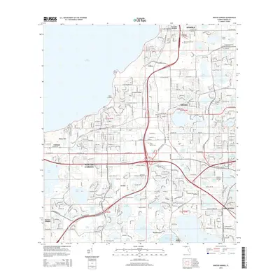
2015 Map of Winter Garden
USGS Topo · Published 2015About this map
Winter Garden and Ocoee anchor this mid-2010s landscape on the southern shores of Lake Apopka. The map details a region transitioning from its agricultural roots toward suburban expansion, evidenced by the dense network of modern corridors like W Colonial Dr and Stoneybrook W Pky cutting through historic groves and lakefronts. Local history and genealogy interest is high here, with several significant burial grounds documented including Winter Garden Cem, Ocoee Cem, and the expansive Woodlawn Memorial Park Cem. Smaller, established communities such as Oakland, Tildenville, and Beulah maintain their identity amidst a complex system of internal waterways, from the large Johns Lake in the west to the cluster of smaller basins surrounding Windermere in the south.
Find a feature on this map
77 named features on this map. Tap any name to fly to it.
Don’t see what you’re looking for? This feature index may not catch every label — zoom into the map to look around manually.
Map Details
Editions of this 2015 Winter Garden Map
This is the sole edition of this map. No revisions or reprints were ever made.
Other maps of this area

1953 · Lake Jessamine
USGS Topo · 1:24,000

1953 · Windermere
USGS Topo · 1:24,000

1955 · Orlando
USGS Topo · 1:250,000

1956 · Winter Garden
USGS Topo · 1:24,000

1956 · Orlando West
USGS Topo · 1:24,000

1957 · Orlando
USGS Topo · 1:250,000

1958 · Orlando
USGS Topo · 1:250,000

1959 · Lake Louisa
USGS Topo · 1:24,000

1959 · Forest City
USGS Topo · 1:24,000

1960 · Apopka
USGS Topo · 1:24,000