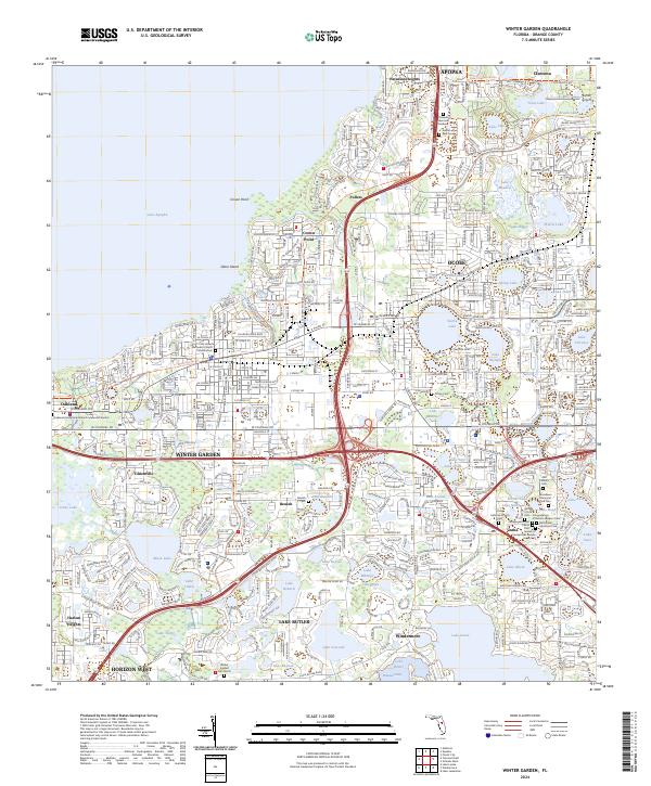
2024 Map of Winter Garden
USGS Topo · Published 2024About this map
The western shores of Lake Apopka and Johns Lake define this Orange County landscape, characterized by a dense concentration of interior lakes and evolving suburban corridors. Established communities like Winter Garden, Ocoee, and Oakland serve as anchors for the region, connected by the historical thoroughfare of W Colonial Dr. The map reveals a high density of memorial sites and religious landmarks, including the Oakland Presbyterian Church Memorial Garden and the extensive Woodlawn Memorial Park Cem near Gotha.
Find a feature on this map
123 named features on this map. Tap any name to fly to it.
Don’t see what you’re looking for? This feature index may not catch every label — zoom into the map to look around manually.
Map Details
Editions of this 2024 Winter Garden Map
This is the sole edition of this map. No revisions or reprints were ever made.
Other maps of this area
1953 · Lake Jessamine
USGS Topo · 1:24,000
1953 · Windermere
USGS Topo · 1:24,000

1955 · Orlando
USGS Topo · 1:250,000
1956 · Winter Garden
USGS Topo · 1:24,000
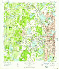
1956 · Orlando West
USGS Topo · 1:24,000

1957 · Orlando
USGS Topo · 1:250,000

1958 · Orlando
USGS Topo · 1:250,000
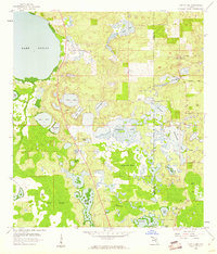
1959 · Lake Louisa
USGS Topo · 1:24,000
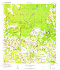
1959 · Forest City
USGS Topo · 1:24,000
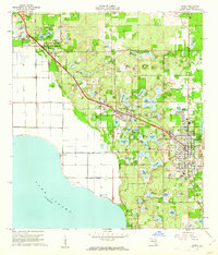
1960 · Apopka
USGS Topo · 1:24,000