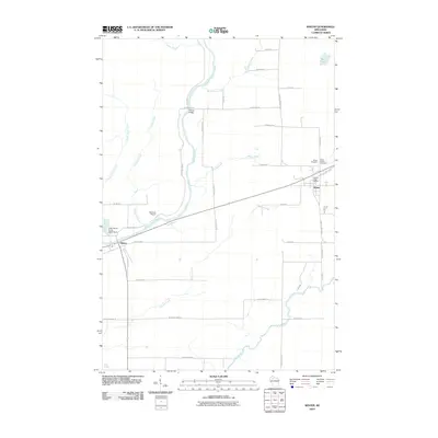
2010 Map of Winter
USGS Topo · Published 2010About this map
The Chippewa River corridor dominates this portion of Sawyer County, winding through a landscape defined by its waterways and small clusters of settlement. The community of Winter serves as the primary local hub, anchored by the Winter Post Office and nearby Winter Cemetery. Further west, the small settlement of Ojibwa sits near the confluence where the river meets Crazy Horse Creek and its associated Crazy Horse Creek G4327 Dam. The map reveals a transition from these organized centers to the rural stretches around Bishop Bridge and the winding course of the Brunet River to the south. Local aviation is represented by Rainbow Airport, situated in the central valley between the river and the surrounding lowlands. This survey provides a clear view of the road network and land divisions that shaped the area's development in the early 21st century.
Find a feature on this map
42 named features on this map. Tap any name to fly to it.
Don’t see what you’re looking for? This feature index may not catch every label — zoom into the map to look around manually.
Map Details
Editions of this 2010 Winter Map
This is the sole edition of this map. No revisions or reprints were ever made.
Other maps of this area

1944 · Exeland
USGS Topo · 1:48,000

1944 · Draper
USGS Topo · 1:48,000

1944 · Radisson
USGS Topo · 1:48,000

1945 · Ingram
USGS Topo · 1:48,000

1947 · Exeland
USGS Topo · 1:48,000

1947 · Ingram
USGS Topo · 1:48,000

1947 · Draper
USGS Topo · 1:48,000

1949 · Radisson
USGS Topo · 1:48,000

1953 · Rice Lake
USGS Topo · 1:250,000

1959 · Rice Lake
USGS Topo · 1:250,000