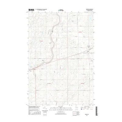
2015 Map of Winter
USGS Topo · Published 2015About this map
The Chippewa River snakes through the northern Wisconsin landscape, anchoring a region defined by its waterway networks and rural road systems. In the village of Winter, the community is centered around the intersection of Co Hwy W and Grove Ave, with Winter Cem and Saint Peters Cem located on the eastern edge of the settlement. To the southwest, the smaller community of Ojibwa sits near the banks of the river, connected to the surrounding countryside by roads like Koeppler Rd and W Old Highway 70.
Find a feature on this map
54 named features on this map. Tap any name to fly to it.
Don’t see what you’re looking for? This feature index may not catch every label — zoom into the map to look around manually.
Map Details
Editions of this 2015 Winter Map
This is the sole edition of this map. No revisions or reprints were ever made.
Other maps of this area

1944 · Exeland
USGS Topo · 1:48,000

1944 · Draper
USGS Topo · 1:48,000

1944 · Radisson
USGS Topo · 1:48,000

1945 · Ingram
USGS Topo · 1:48,000

1947 · Exeland
USGS Topo · 1:48,000

1947 · Ingram
USGS Topo · 1:48,000

1947 · Draper
USGS Topo · 1:48,000

1949 · Radisson
USGS Topo · 1:48,000

1953 · Rice Lake
USGS Topo · 1:250,000

1959 · Rice Lake
USGS Topo · 1:250,000