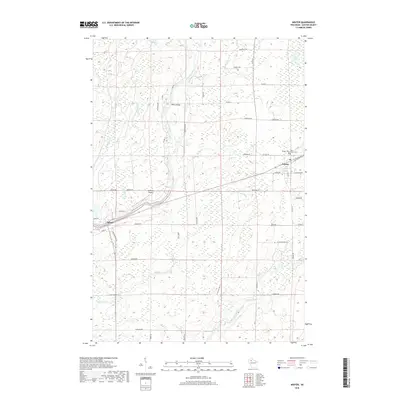
2018 Map of Winter
USGS Topo · Published 2018About this map
The Chippewa River carves a central path through this Sawyer County landscape, joined by a network of tributaries including Kenyon Cr and Brunet River. The settlement of Winter serves as the primary hub in the northeast, where Winter Cem and Saint Peter's Cem provide important reference points for local genealogists. Westward along the river, the village of Ojibwa and the small crossing at Bishop Bridge mark the era's persistent river-oriented settlement patterns. The terrain is defined by its water systems, from the wetlands surrounding Mud Lake to the drainage of Knapp Stout Cr. Aviation history is represented by the Rainbow Airport, situated north of the main river bend, while a dense grid of rural roads like Fadness RD and Sitte RD connect the outlying farmsteads and woodlands.
Find a feature on this map
49 named features on this map. Tap any name to fly to it.
Don’t see what you’re looking for? This feature index may not catch every label — zoom into the map to look around manually.
Map Details
Editions of this 2018 Winter Map
This is the sole edition of this map. No revisions or reprints were ever made.
Other maps of this area

1944 · Exeland
USGS Topo · 1:48,000

1944 · Draper
USGS Topo · 1:48,000

1944 · Radisson
USGS Topo · 1:48,000

1945 · Ingram
USGS Topo · 1:48,000

1947 · Exeland
USGS Topo · 1:48,000

1947 · Ingram
USGS Topo · 1:48,000

1947 · Draper
USGS Topo · 1:48,000

1949 · Radisson
USGS Topo · 1:48,000

1953 · Rice Lake
USGS Topo · 1:250,000

1959 · Rice Lake
USGS Topo · 1:250,000