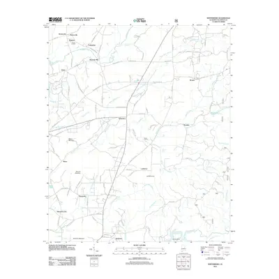
2011 Map of Winterboro
USGS Topo · Published 2011About this map
Talladega Creek and its many tributaries, including Greasy Head Branch and Weewoka Creek, define the drainage patterns of this central Alabama landscape. Historically significant transportation routes like Bullocks Ferry Rd and Reynolds Mill Rd connect dispersed settlements such as Winterboro, Sycamore, and Reynolds Mill. The area's topography is marked by prominent elevations like Mallory Mountain and Jack Mountain, while local landmarks such as Rendalia Water Falls and Wilson Cemetery provide specific points of interest for local history and genealogy research.
Find a feature on this map
96 named features on this map. Tap any name to fly to it.
Don’t see what you’re looking for? This feature index may not catch every label — zoom into the map to look around manually.
Map Details
Editions of this 2011 Winterboro Map
This is the sole edition of this map. No revisions or reprints were ever made.
Other maps of this area

1890 · Talladega
USGS Topo · 1:125,000

1892 · Talladega
USGS Topo · 1:125,000

1915 · Gantts Quarry
USGS Topo · 1:48,000

1917 · Gantts Quarry
USGS Topo · 1:62,500

1943 · Talladega
USGS Topo · 1:62,500

1944 · Goodwater
USGS Topo · 1:62,500

1946 · Talladega
USGS Topo · 1:62,500

1947 · Goodwater
USGS Topo · 1:62,500

1951 · Laniers
USGS Topo · 1:24,000

1953 · Birmingham
USGS Topo · 1:250,000