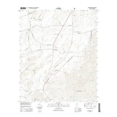
2014 Map of Winterboro
USGS Topo · Published 2014About this map
The Talladega National Forest dominates the eastern and southern reaches of this landscape, framing a series of peaks including Mallory Mtn and Andeluvia Mtn. In the central valley, the community of Winterboro serves as a focal point for a network of rural roads such as Grist Mill Rd and Bullocks Ferry Rd. These names hint at an earlier economy built around river crossings and local milling.
Find a feature on this map
82 named features on this map. Tap any name to fly to it.
Don’t see what you’re looking for? This feature index may not catch every label — zoom into the map to look around manually.
Map Details
Editions of this 2014 Winterboro Map
This is the sole edition of this map. No revisions or reprints were ever made.
Other maps of this area

1890 · Talladega
USGS Topo · 1:125,000

1892 · Talladega
USGS Topo · 1:125,000

1915 · Gantts Quarry
USGS Topo · 1:48,000

1917 · Gantts Quarry
USGS Topo · 1:62,500

1943 · Talladega
USGS Topo · 1:62,500

1944 · Goodwater
USGS Topo · 1:62,500

1946 · Talladega
USGS Topo · 1:62,500

1947 · Goodwater
USGS Topo · 1:62,500

1951 · Laniers
USGS Topo · 1:24,000

1953 · Birmingham
USGS Topo · 1:250,000