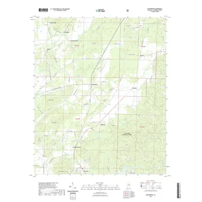
2021 Map of Winterboro
USGS Topo · Published 2021About this map
Sylacauga and the northern outskirts of Sycamore anchor this portion of Talladega County, where the landscape transitions from the developed valley into the high ridges of the Talladega National Forest. The presence of CSX Transportation rail lines highlights the historical importance of regional transport, while rural settlements such as Winterboro, Nottingham, and Plantersville reflect the area's agricultural and milling roots. Landmarks like Desoto Caverns and the Rendalia Water Falls indicate a topography shaped by both karst geology and the many watercourses like Talladega Creek and Weewoka Creek. For local historians, the inclusion of the Kingston Cemetery, Wilson Cemetery, and the Pine School provides essential points for tracing family genealogies and early community centers in this part of Alabama.
Find a feature on this map
109 named features on this map. Tap any name to fly to it.
Don’t see what you’re looking for? This feature index may not catch every label — zoom into the map to look around manually.
Map Details
Editions of this 2021 Winterboro Map
This is the sole edition of this map. No revisions or reprints were ever made.
Other maps of this area

1890 · Talladega
USGS Topo · 1:125,000

1892 · Talladega
USGS Topo · 1:125,000

1915 · Gantts Quarry
USGS Topo · 1:48,000

1917 · Gantts Quarry
USGS Topo · 1:62,500

1943 · Talladega
USGS Topo · 1:62,500

1944 · Goodwater
USGS Topo · 1:62,500

1946 · Talladega
USGS Topo · 1:62,500

1947 · Goodwater
USGS Topo · 1:62,500

1951 · Laniers
USGS Topo · 1:24,000

1953 · Birmingham
USGS Topo · 1:250,000