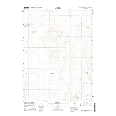
2014 Map of Winters Ranch Reservoir
USGS Topo · Published 2014About this map
Owyhee Desert terrain characterizes this high-altitude landscape in northern Elko County. The map details a specialized water-management infrastructure vital to livestock ranching and arid-land survival, anchored by the Winters Ranch Reservoir in the eastern section. This catchment is fed and drained by seasonal watercourses like Chimney Cr, which snakes through the topographic depressions between elevated ridges. To the south, the Burner Hills rise as a distinct geological formation, providing a backdrop to the drainage patterns of Milligan Cr. The survey illustrates the section-line divisions of the Public Land Survey System across Township 43 North and Township 42 North, reflecting the organized grid of land ownership in the Great Basin. This cartographic study is essential for understanding the hydrology of high-desert ranching and the spatial relationship between isolated water sources and the surrounding scrubland.
Find a feature on this map
9 named features on this map. Tap any name to fly to it.
Don’t see what you’re looking for? This feature index may not catch every label — zoom into the map to look around manually.
Map Details
Editions of this 2014 Winters Ranch Reservoir Map
This is the sole edition of this map. No revisions or reprints were ever made.
Other maps of this area

1955 · McDermitt
USGS Topo · 1:250,000

1959 · McDermitt
USGS Topo · 1:250,000

1973 · McCleary Wells
USGS Topo · 1:24,000

1973 · Corral Lake
USGS Topo · 1:24,000

1973 · Haystack Peak
USGS Topo · 1:24,000

1974 · Soldier Cap
USGS Topo · 1:24,000

1974 · Middle Draw Reservoir
USGS Topo · 1:24,000

1974 · Winters Ranch Reservoir
USGS Topo · 1:24,000

1974 · Burner Hills
USGS Topo · 1:24,000

1974 · Desert Ranch
USGS Topo · 1:24,000