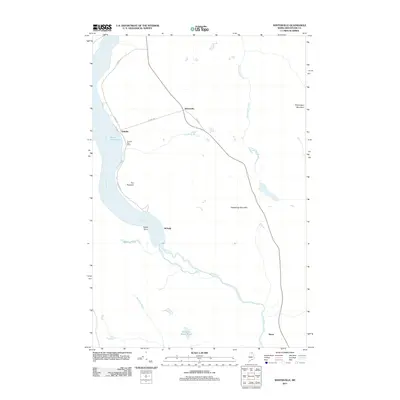
2011 Map of Winterville
USGS Topo · Published 2011About this map
Fish River dominates this northern Maine landscape as it winds through the heart of the Aroostook County forestland, connecting the southern shores of Saint Froid Lake with remote interior waterways. The small settlement of Winterville and the community at Quimby represent the primary points of human activity, linked by local routes such as Quimby Rd and S Shore Rd. The presence of the Quimby Post Office near the water's edge marks the focal point for this lakeside hamlet.
Find a feature on this map
20 named features on this map. Tap any name to fly to it.
Don’t see what you’re looking for? This feature index may not catch every label — zoom into the map to look around manually.
Map Details
Editions of this 2011 Winterville Map
This is the sole edition of this map. No revisions or reprints were ever made.
Other maps of this area

1927 · Square Lake
USGS Topo · 1:48,000

1928 · Eagle Lake
USGS Topo · 1:48,000

1928 · Winterville
USGS Topo · 1:48,000

1929 · Portage
USGS Topo · 1:62,500

1931 · Square Lake
USGS Topo · 1:62,500

1931 · Eagle Lake
USGS Topo · 1:62,500

1931 · Portage
USGS Topo · 1:62,500

1931 · Winterville
USGS Topo · 1:62,500

1953 · Square Lake
USGS Topo · 1:62,500

1953 · Portage
USGS Topo · 1:62,500