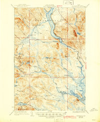
1931 Map of Winterville
USGS Topo · Published 1944About this map
St Froud Lake and the Fish River system anchor this northern Aroostook County landscape during the late 1920s. The settlement of Winterville and the Quimby Winterville Sta along the Bangor and Aroostook railroad represent the primary hubs of activity in an otherwise heavily forested region. Evidence of the timber and sporting economy is found in remote outposts like Falls Camp, Fourmile Camp, and Red Ledge.
Find a feature on this map
73 named features on this map. Tap any name to fly to it.
Don’t see what you’re looking for? This feature index may not catch every label — zoom into the map to look around manually.
Map Details
Editions of this 1931 Winterville Map
4 editions found

Other maps of this area

1927 · Square Lake
USGS Topo · 1:48,000

1928 · Eagle Lake
USGS Topo · 1:48,000

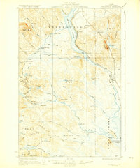
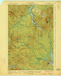
1928 · Winterville
USGS Topo · 1:48,000

1929 · Portage
USGS Topo · 1:62,500

1930 · Greenlaw
USGS Topo · 1:48,000

1930 · St Francis
USGS Topo · 1:48,000

1931 · Square Lake
USGS Topo · 1:62,500

1931 · Fish River Lake
USGS Topo · 1:48,000

1931 · Ashland
USGS Topo · 1:48,000

1931 · Mooseleuk Lake
USGS Topo · 1:48,000