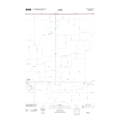
2013 Map of Wiota
USGS Topo · Published 2013About this map
The E Nishnabotna River meanders through this agricultural landscape in Cass County, serving as a primary drainage corridor for the surrounding farm country. The eastern edge of Atlantic occupies the southwestern portion of the sheet, where residential developments like Sycamore Village extend toward the rural sections. To the east, the small settlement of Wiota is situated along a primary east-west transportation artery, while the smaller community of Lorah sits to the north. The map reveals a highly structured grid of section roads, including many with evocative names like Chicago Rd and Great River Rd, which define the local geography. Several waterways, including Troublesome Cr, Turkey Cr, and Jim Br, cut across the plains, influencing the placement of the various farmsteads and rural routes that characterize the region.
Find a feature on this map
65 named features on this map. Tap any name to fly to it.
Don’t see what you’re looking for? This feature index may not catch every label — zoom into the map to look around manually.
Map Details
Editions of this 2013 Wiota Map
This is the sole edition of this map. No revisions or reprints were ever made.
Other maps of this area

1954 · Omaha
USGS Topo · 1:250,000

1957 · Omaha
USGS Topo · 1:250,000

1957 · Audubon
USGS Topo · 1:62,500

1958 · Omaha
USGS Topo · 1:250,000

1971 · Anita
USGS Topo · 1:24,000

1971 · Wiota
USGS Topo · 1:24,000

1971 · Atlantic
USGS Topo · 1:24,000

1971 · Anita SW
USGS Topo · 1:24,000

1971 · Lewis
USGS Topo · 1:24,000

1971 · Massena
USGS Topo · 1:24,000