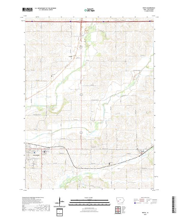
2022 Map of Wiota
USGS Topo · Published 2022About this map
The East Nishnabotna River and Troublesome Creek valley systems define the agricultural landscape of Cass County. This area features the established community of Wiota in the southeast and the outskirts of Atlantic to the west, linked by historically significant transit corridors like White Pole Rd. The mapping of townships t77n r36w and t77n r35w reveals a dense grid of rural roads serving scattered farmsteads and small settlements like Lorah.
Find a feature on this map
60 named features on this map. Tap any name to fly to it.
Don’t see what you’re looking for? This feature index may not catch every label — zoom into the map to look around manually.
Map Details
Editions of this 2022 Wiota Map
This is the sole edition of this map. No revisions or reprints were ever made.
Other maps of this area

1954 · Omaha
USGS Topo · 1:250,000

1957 · Omaha
USGS Topo · 1:250,000

1957 · Audubon
USGS Topo · 1:62,500

1958 · Omaha
USGS Topo · 1:250,000

1971 · Anita
USGS Topo · 1:24,000

1971 · Wiota
USGS Topo · 1:24,000

1971 · Atlantic
USGS Topo · 1:24,000

1971 · Anita SW
USGS Topo · 1:24,000

1971 · Lewis
USGS Topo · 1:24,000

1971 · Massena
USGS Topo · 1:24,000