
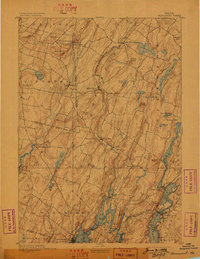
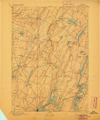
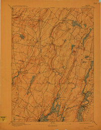
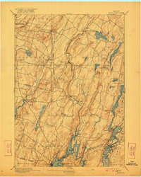
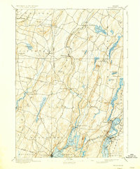
1893 Map of Wiscasset
USGS Topo · Published 1893About this map
Wiscasset serves as the focal point for this late nineteenth-century coastal landscape, where the Sheepscot River and Damariscotta River define the intricate geography of Lincoln County. The Maine Central Railroad runs through the southern reaches, connecting Newcastle and Damariscotta to the coastal trade. Inland, the terrain is a series of ridges and valleys hosting small mill towns and agricultural settlements like Dresden Mills and Head Tide.
Find a feature on this map
71 named features on this map. Tap any name to fly to it.
Don’t see what you’re looking for? This feature index may not catch every label — zoom into the map to look around manually.
Map Details
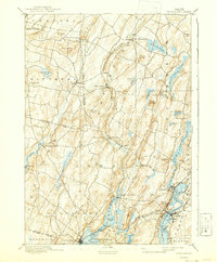
Editions of this 1893 Wiscasset Map
7 editions found
Other maps of this area

1892 · Gardiner
USGS Topo · 1:62,500

1892 · Augusta
USGS Topo · 1:62,500

1893 · Vassalboro
USGS Topo · 1:62,500

1893 · Boothbay
USGS Topo · 1:62,500

1894 · Bath
USGS Topo · 1:62,500

1898 · Vassalboro
USGS Topo · 1:62,500

1904 · Monhegan
USGS Topo · 1:62,500

1906 · Monhegan
USGS Topo · 1:62,500

1913 · Waldoboro
USGS Topo · 1:48,000

1915 · Waldoboro
USGS Topo · 1:62,500