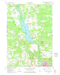
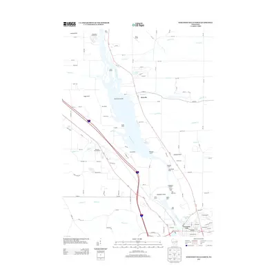
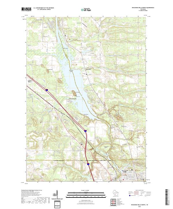
1975 Map of Wisconsin Dells North
USGS Topo · Published 1978About this map
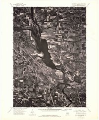
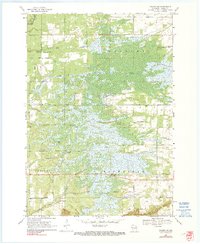
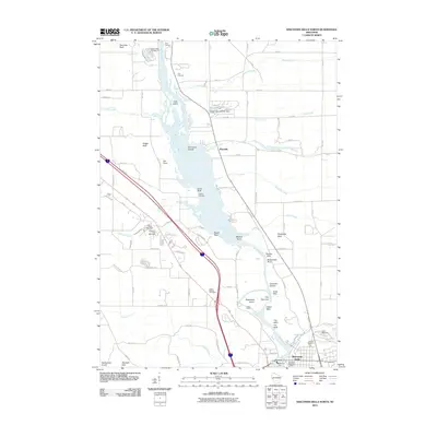
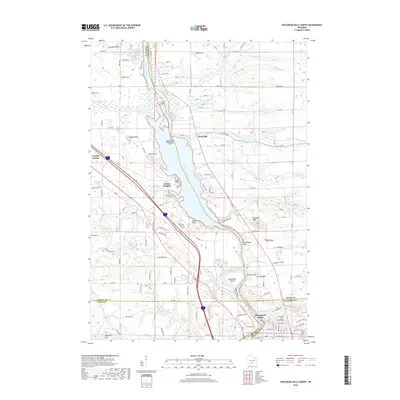
The Wisconsin River carves a path through this 1975 landscape, defining the transition from the sandy plains of Dell Prairie to the bluffs and islands of the Dells. Central to the map is the intricate geology of Blackhawk Island and The Narrows, where the river's character shifts alongside the Chicago Milwaukee St Paul and Pacific railroad line. This era captures the region as a burgeoning recreational hub, evidenced by the Wisconsin Dells Speedway and the established boundaries of Rocky Arbor State Park.
Find a feature on this map
65 named features on this map. Tap any name to fly to it.
Don’t see what you’re looking for? This feature index may not catch every label — zoom into the map to look around manually.
Map Details
Editions of this 1975 Wisconsin Dells North Map
2 editions found
Historical Maps of Wisconsin Dells Through Time
42 maps found
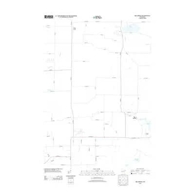
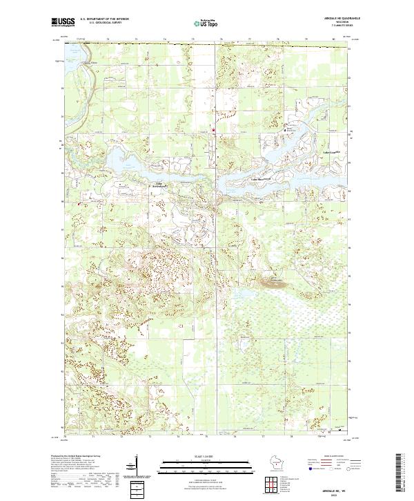
1967 Arkdale NE
Adams County, WI

1967 Roche A Cri
Adams County, WI
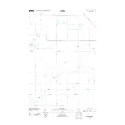
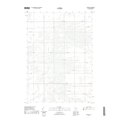
1968 Coloma NW
Adams County, WI
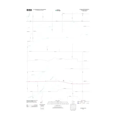
1968 Coloma SW
Adams County, WI
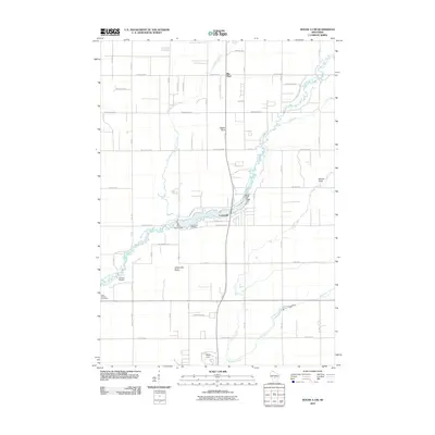
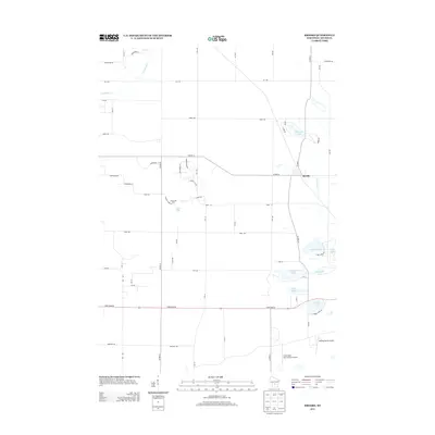
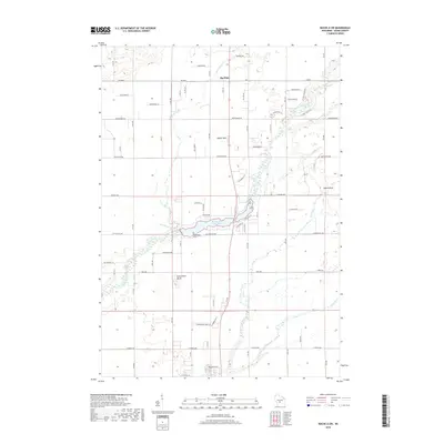
1975 Big Spring
Adams County, WI
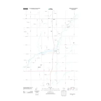
1975 Wisconsin Dells North
Adams County, WI
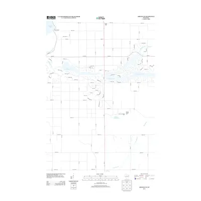
1979 Brooks
Adams County, WI
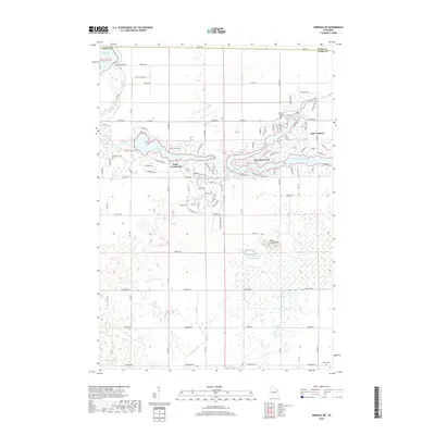
2010 Arkdale NE
Adams County, WI
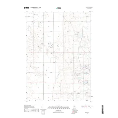
2010 Big Spring
Adams County, WI
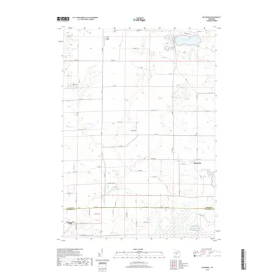
2010 Brooks
Adams County, WI
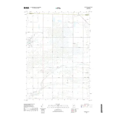
2010 Coloma NW
Adams County, WI
2010 Coloma SW
Adams County, WI
2010 Roche A Cri
Adams County, WI
2010 Wisconsin Dells North
Adams County, WI
2013 Arkdale NE
Adams County, WI
2013 Big Spring
Adams County, WI
2013 Brooks
Adams County, WI
2013 Coloma NW
Adams County, WI
2013 Coloma SW
Adams County, WI
2013 Roche A Cri
Adams County, WI
2013 Wisconsin Dells North
Adams County, WI
2015 Arkdale NE
Adams County, WI
2015 Coloma NW
Adams County, WI
2015 Coloma SW
Adams County, WI
2015 Roche A Cri
Adams County, WI
2016 Big Spring
Adams County, WI
2016 Brooks
Adams County, WI
2016 Wisconsin Dells North
Adams County, WI
2018 Arkdale NE
Adams County, WI
2018 Big Spring
Adams County, WI
2018 Brooks
Adams County, WI
2018 Coloma NW
Adams County, WI
2018 Coloma SW
Adams County, WI
2018 Roche A Cri
Adams County, WI
2018 Wisconsin Dells North
Adams County, WI
2022 Arkdale NE
Adams County, WI
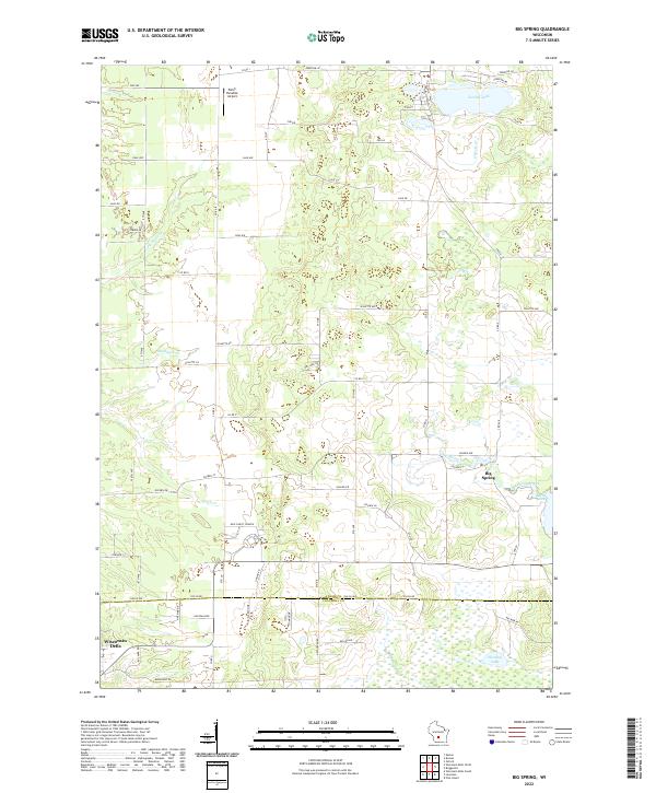
2022 Big Spring
Adams County, WI
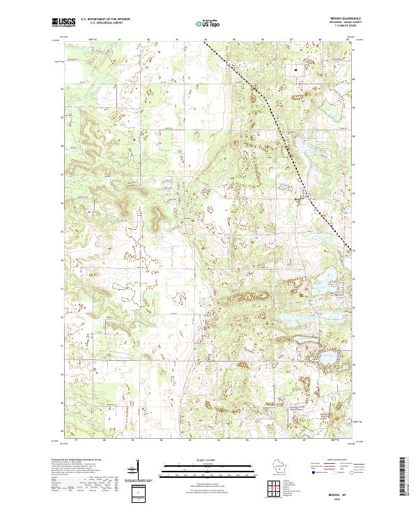
2022 Brooks
Adams County, WI
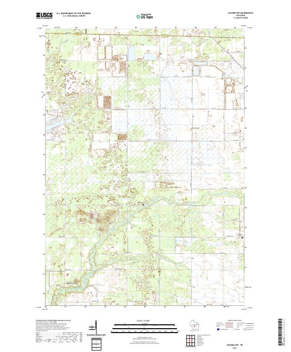
2022 Coloma NW
Adams County, WI
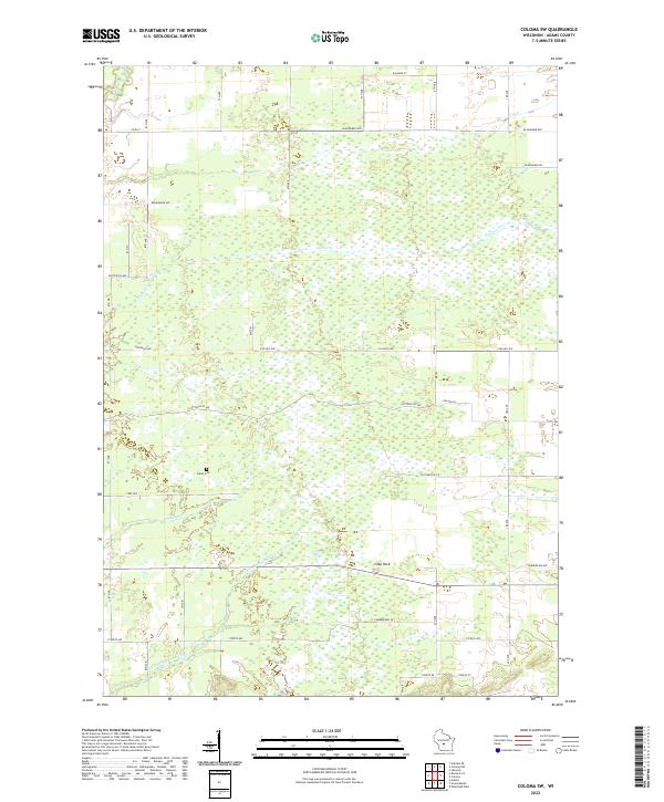
2022 Coloma SW
Adams County, WI
2022 Roche A Cri
Adams County, WI
2022 Wisconsin Dells North
Adams County, WI