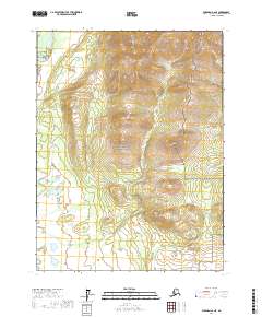
2017 Map of Wiseman A-2 NE
USGS Topo · Published 2017About this map
Gates of the Arctic National Park dominates this portion of the central Brooks Range, where the high mountain terrain is carved by a network of significant waterways. The northwestern corner is defined by the North Fork Koyukuk River, a vital corridor for travel and survival in this subarctic environment. The map details the drainage patterns that feed this river system, including the winding course of Alder Cr and Twelvemile Cr. Published by the U.S. Geological Survey, this 2017 edition provides a contemporary look at the topography within the Yukon-Koyukuk Census Area. The lack of roads or settlements underscores the wilderness character of this landscape, where the naming of features like Mailbox Cr reflects the history of local travel and remote outposts in the Alaskan interior.
Find a feature on this map
10 named features on this map. Tap any name to fly to it.
Don’t see what you’re looking for? This feature index may not catch every label — zoom into the map to look around manually.
Map Details
Editions of this 2017 Wiseman A-2 NE Map
This is the sole edition of this map. No revisions or reprints were ever made.
Other maps of this area

1951 · Wiseman
USGS Topo · 1:250,000

1956 · Wiseman
USGS Topo · 1:250,000

1964 · Wiseman
USGS Topo · 1:250,000

1970 · Wiseman A-1
USGS Topo · 1:63,360

1970 · Wiseman A-2
USGS Topo · 1:63,360
1971 · Wiseman B-1
USGS Topo · 1:63,360
1971 · Wiseman B-2
USGS Topo · 1:63,360
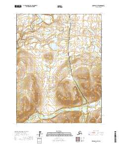
2017 · Wiseman A-1 SW
USGS Topo · 1:25,000
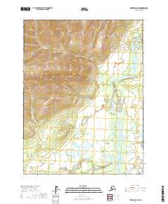
2017 · Wiseman A-2 NW
USGS Topo · 1:25,000
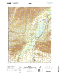
2017 · Wiseman A-1 NW
USGS Topo · 1:25,000