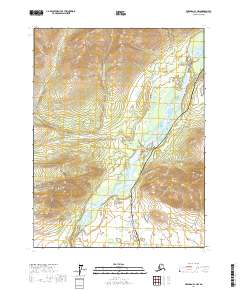
2017 Map of Wiseman A-1 NW
USGS Topo · Published 2017About this map
Gates of the Arctic National Park encompasses the western portion of this terrain, where high peaks like Twelvemile Mtn and Cathedral Mtn overlook the sprawling river drainage. The central corridor is dominated by the Middle Fork Koyukuk River, a critical waterway that has historically dictated movement through this interior region. Running parallel to the river, the modern industrial infrastructure of the Alaska Pipeline and the Dalton Highway represents the primary human footprint in this wilderness, following the natural path of least resistance through the mountains. Numerous tributaries, including Twelvemile Cr and its upper and lower forks, feed into the main river channel from the surrounding slopes. The map illustrates the close proximity of protected federal lands to vital trans-Alaskan energy and transport corridors during the early twenty-first century.
Find a feature on this map
17 named features on this map. Tap any name to fly to it.
Don’t see what you’re looking for? This feature index may not catch every label — zoom into the map to look around manually.
Map Details
Editions of this 2017 Wiseman A-1 NW Map
This is the sole edition of this map. No revisions or reprints were ever made.
Other maps of this area

1951 · Wiseman
USGS Topo · 1:250,000

1956 · Wiseman
USGS Topo · 1:250,000

1964 · Wiseman
USGS Topo · 1:250,000

1970 · Wiseman A-1
USGS Topo · 1:63,360

1970 · Wiseman A-2
USGS Topo · 1:63,360
1971 · Wiseman B-1
USGS Topo · 1:63,360
1971 · Wiseman B-2
USGS Topo · 1:63,360
2017 · Wiseman A-2 NE
USGS Topo · 1:25,000
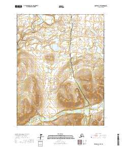
2017 · Wiseman A-1 SW
USGS Topo · 1:25,000
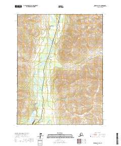
2017 · Wiseman B-1 SE
USGS Topo · 1:25,000