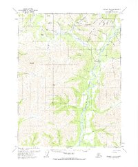
1971 Map of Wiseman B-1
USGS Topo · Published 1974About this map
Wiseman and Nolan anchor this remote landscape along the Middle Fork Koyukuk River, illustrating the enduring isolation of the northern interior before modern infrastructure arrived. At the time of this 1971 study, the region remained defined by its mining heritage, with scattered Placer Mines and Prospects throughout the rugged terrain around Nolan Creek and Hammond River. A small Cem and Landing Strip at the Wiseman settlement emphasize the community's self-reliance. High-altitude landmarks like Midnight Dome, Gobblers Knob, and Emma Dome tower over the river valley, while movement through the mountains relied on established routes like Pasco Pass and the seasonal Winter Road. This survey documents the transition between the gold rush era and the later pipeline development, showing a wilderness still largely untouched by permanent paved roads.
Find a feature on this map
59 named features on this map. Tap any name to fly to it.
Don’t see what you’re looking for? This feature index may not catch every label — zoom into the map to look around manually.
Map Details
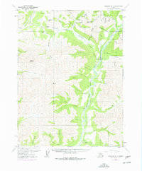
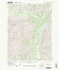
Editions of this 1971 Wiseman B-1 Map
3 editions found
Other maps of this area

1951 · Chandalar
USGS Topo · 1:250,000

1951 · Wiseman
USGS Topo · 1:250,000

1956 · Chandalar
USGS Topo · 1:250,000

1956 · Wiseman
USGS Topo · 1:250,000

1964 · Wiseman
USGS Topo · 1:250,000

1964 · Chandalar
USGS Topo · 1:250,000

1970 · Wiseman A-1
USGS Topo · 1:63,360
1970 · Chandalar A-6
USGS Topo · 1:63,360

1970 · Wiseman A-2
USGS Topo · 1:63,360

1971 · Wiseman C-2
USGS Topo · 1:63,360