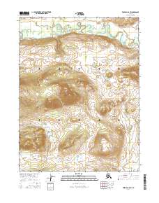
2016 Map of Wiseman A-6 SW
USGS Topo · Published 2016About this map
The Malamute Fork Alatna River snakes through the northern reaches of this Brooks Range landscape, defining the local drainage pattern long before reaching its confluence with the main stem of the Alatna. This 2016 survey by the U.S. Geological Survey illustrates the dramatic elevation changes characteristic of the Alatna Hills, where steep contours rise sharply from the river valley. The presence of Roosevelt Cr feeding into the primary waterway suggests the complex hydrological network that sustains this subarctic environment. Largely undeveloped, the area is defined by its topographic relief and the wandering paths of its glacial-fed streams, offering a precise record of the landforms within the Yukon-Koyukuk region at the start of the twenty-first century.
Find a feature on this map
9 named features on this map. Tap any name to fly to it.
Don’t see what you’re looking for? This feature index may not catch every label — zoom into the map to look around manually.
Map Details
Editions of this 2016 Wiseman A-6 SW Map
This is the sole edition of this map. No revisions or reprints were ever made.
Other maps of this area

1951 · Hughes
USGS Topo · 1:250,000

1951 · Bettles
USGS Topo · 1:250,000

1951 · Survey Pass
USGS Topo · 1:250,000

1951 · Wiseman
USGS Topo · 1:250,000

1956 · Hughes
USGS Topo · 1:250,000

1956 · Bettles
USGS Topo · 1:250,000

1956 · Wiseman
USGS Topo · 1:250,000

1956 · Survey Pass
USGS Topo · 1:250,000

1964 · Survey Pass
USGS Topo · 1:250,000

1964 · Wiseman
USGS Topo · 1:250,000