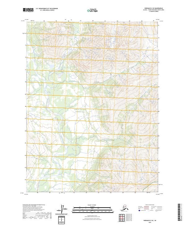
2023 Map of Wiseman B-2 SE
USGS Topo · Published 2023About this map
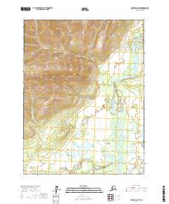
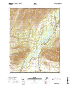
The North Fork Koyukuk Wild and Scenic River defines the western corridor of this Brooks Range landscape, where glacial meltwater and seasonal runoff dictate the character of the terrain. As part of the expansive Gates of the Arctic National Park and Gates of the Arctic Wilderness, this territory remains largely untouched by infrastructure, reflecting a preservation of the Arctic environment as it existed long before modern surveying. The drainage network is particularly active here, with the Glacier River feeding into the main fork near the Glacier River Rapids. Further east, smaller tributaries like Horse Creek and Rock Creek carve through the high-elevation contours, illustrating the complex hydrologic patterns that govern this remote interior. The map focuses on the natural hydrology and protected boundaries of one of the nation's most secluded wilderness areas.
Find a feature on this map
14 named features on this map. Tap any name to fly to it.
Don’t see what you’re looking for? This feature index may not catch every label — zoom into the map to look around manually.
Map Details
Editions of this 2023 Wiseman B-2 SE Map
This is the sole edition of this map. No revisions or reprints were ever made.
Other maps of this area

1951 · Wiseman
USGS Topo · 1:250,000

1956 · Wiseman
USGS Topo · 1:250,000

1964 · Wiseman
USGS Topo · 1:250,000

1970 · Wiseman A-1
USGS Topo · 1:63,360

1970 · Wiseman A-2
USGS Topo · 1:63,360
1971 · Wiseman B-1
USGS Topo · 1:63,360
1971 · Wiseman B-2
USGS Topo · 1:63,360
2017 · Wiseman A-2 NE
USGS Topo · 1:25,000
2017 · Wiseman A-2 NW
USGS Topo · 1:25,000
2017 · Wiseman A-1 NW
USGS Topo · 1:25,000