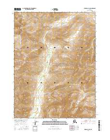
2016 Map of Wiseman B-3 NE
USGS Topo · Published 2016About this map
Gates of the Arctic National Park encompasses the majority of this landscape in the Brooks Range, representing a portion of the vast Alaskan wilderness. The terrain is defined by dramatic elevation changes, where watercourses like Birch Cr and Michigan Cr carve through the high-latitude interior. The map illustrates a remote environment largely untouched by modern infrastructure, showing the natural drainage patterns of the central Brooks Range foothills. These creeks serve as the primary landmarks within the federal wilderness boundary, highlighting the topographic isolation and the scale of the northern landscape prior to any significant human modification or development in this specific quadrant.
Find a feature on this map
7 named features on this map. Tap any name to fly to it.
Don’t see what you’re looking for? This feature index may not catch every label — zoom into the map to look around manually.
Map Details
Editions of this 2016 Wiseman B-3 NE Map
This is the sole edition of this map. No revisions or reprints were ever made.
Other maps of this area

1951 · Wiseman
USGS Topo · 1:250,000

1956 · Wiseman
USGS Topo · 1:250,000

1964 · Wiseman
USGS Topo · 1:250,000

1971 · Wiseman C-2
USGS Topo · 1:63,360
1971 · Wiseman B-3
USGS Topo · 1:63,360
1971 · Wiseman B-2
USGS Topo · 1:63,360
1971 · Wiseman C-3
USGS Topo · 1:63,360
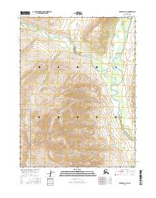
2016 · Wiseman C-3 SE
USGS Topo · 1:25,000
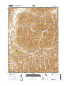
2016 · Wiseman B-3 SE
USGS Topo · 1:25,000
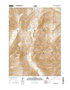
2016 · Wiseman C-3 SW
USGS Topo · 1:25,000